Not having much to say tonight, I thought I’d just put up a few pictures I snapped around Wellfleet yesterday and today. I apologize for the mediocre quality: I’d left my camera behind in New York this time around, and so they were taken with my phone.
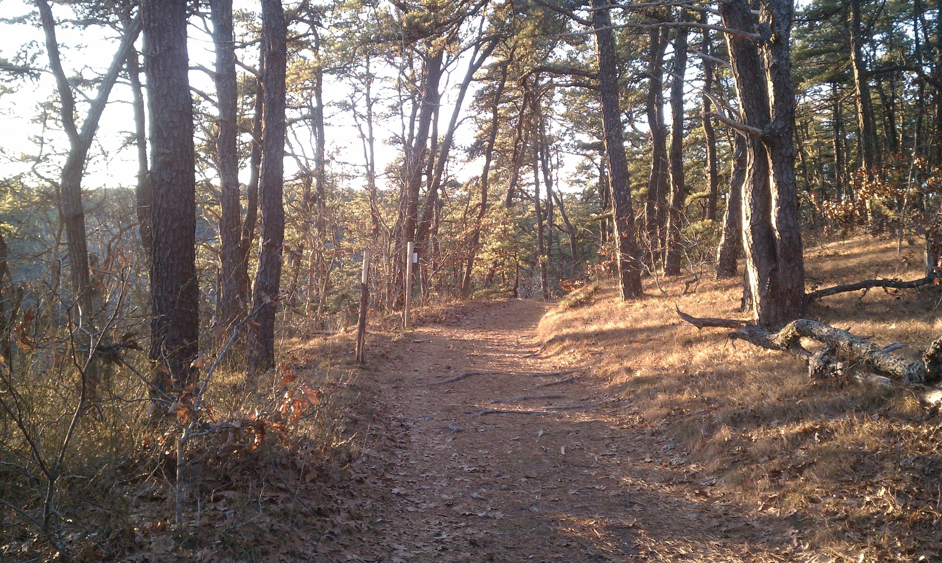
Yesterday I decided to explore the path leading away into the woods from the parking lot at Great Pond. These woods are crisscrossed with old trails and fire-roads, and I knew that one could make one’s way through the forest to a picturesque little kettle-hole called Dyer Pond, though I’d never done it myself.
Here’s a shot of the fire-road right by Dyer Pond:
And here’s the pond itself:
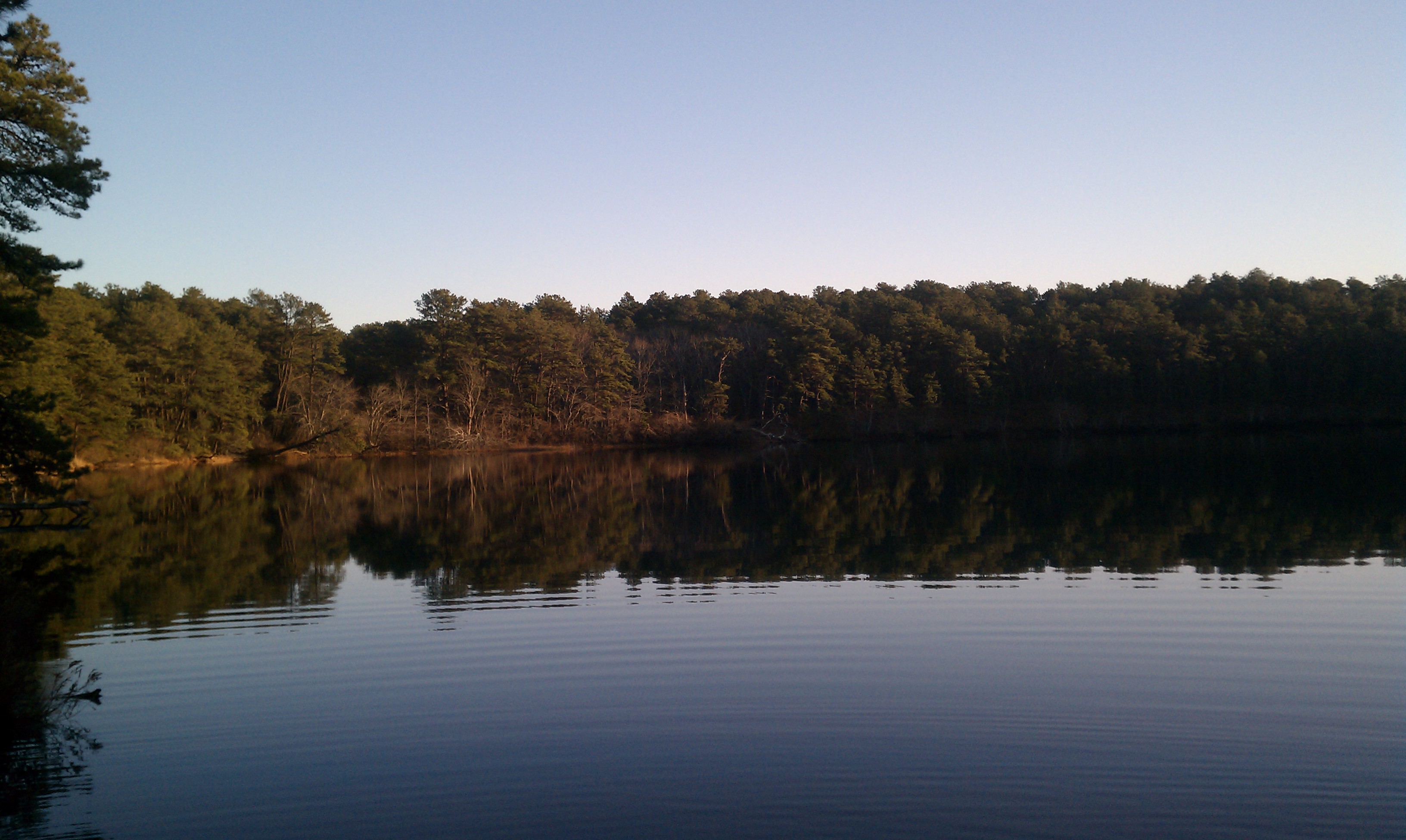
On the way back I stopped by Great Pond to have a look. There was hardly any breeze, and the water was clear and still.
In the summer, Great Pond is a very popular swimming-hole (I do a daily mile there myself), and the water never has a chance to settle. But on these clear calm days in the off-season, it becomes as limpid as glass, and the sandy bottom, undisturbed by all those vacationing feet, takes on lovely rippled patterns. I took a tall shot of the trees and sky reflecting in the smooth surface:
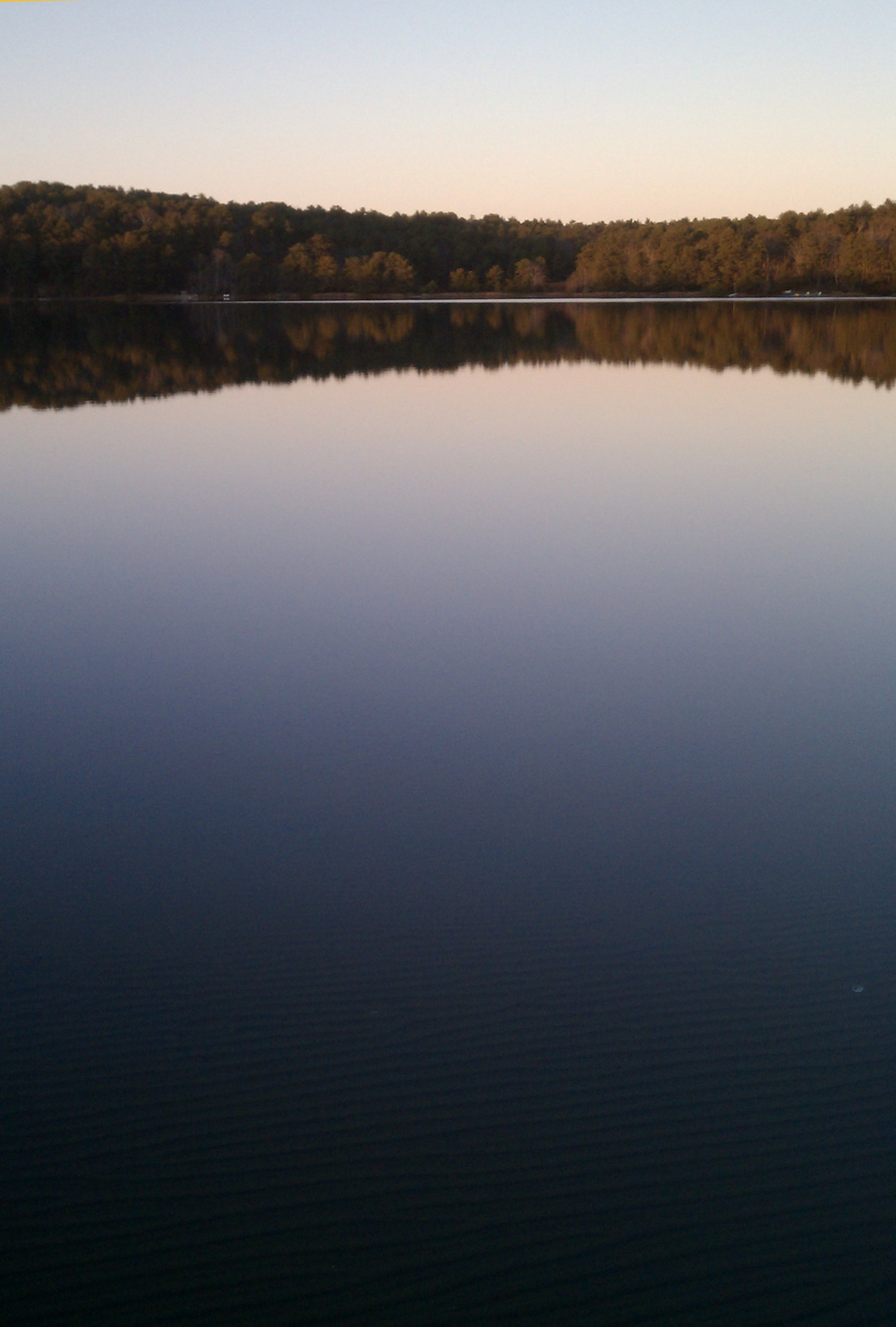
Then I lowered the frame so as just to show the sandy bottom, fading into the reflected sky:
How like a fingerprint those ripples are. As above, so below.
Late in the afternoon today I took a walk down to Great Island, which forms the western barrier of Wellfleet Harbor. At the northwest corner of the “island” (it isn’t really an island at all, but is more of a “tombolo”, connected to the nearby land by a narrow isthmus) there’s a steep hill accessible by a narrow sandy path (I’ve marked it here). I’d never been up there before, and it looked like a fine vantage, so up I went. Here’s the view from the top, looking north. The harbor’s on the right, and the 25-mile breadth of Cape Cod Bay is on the left:
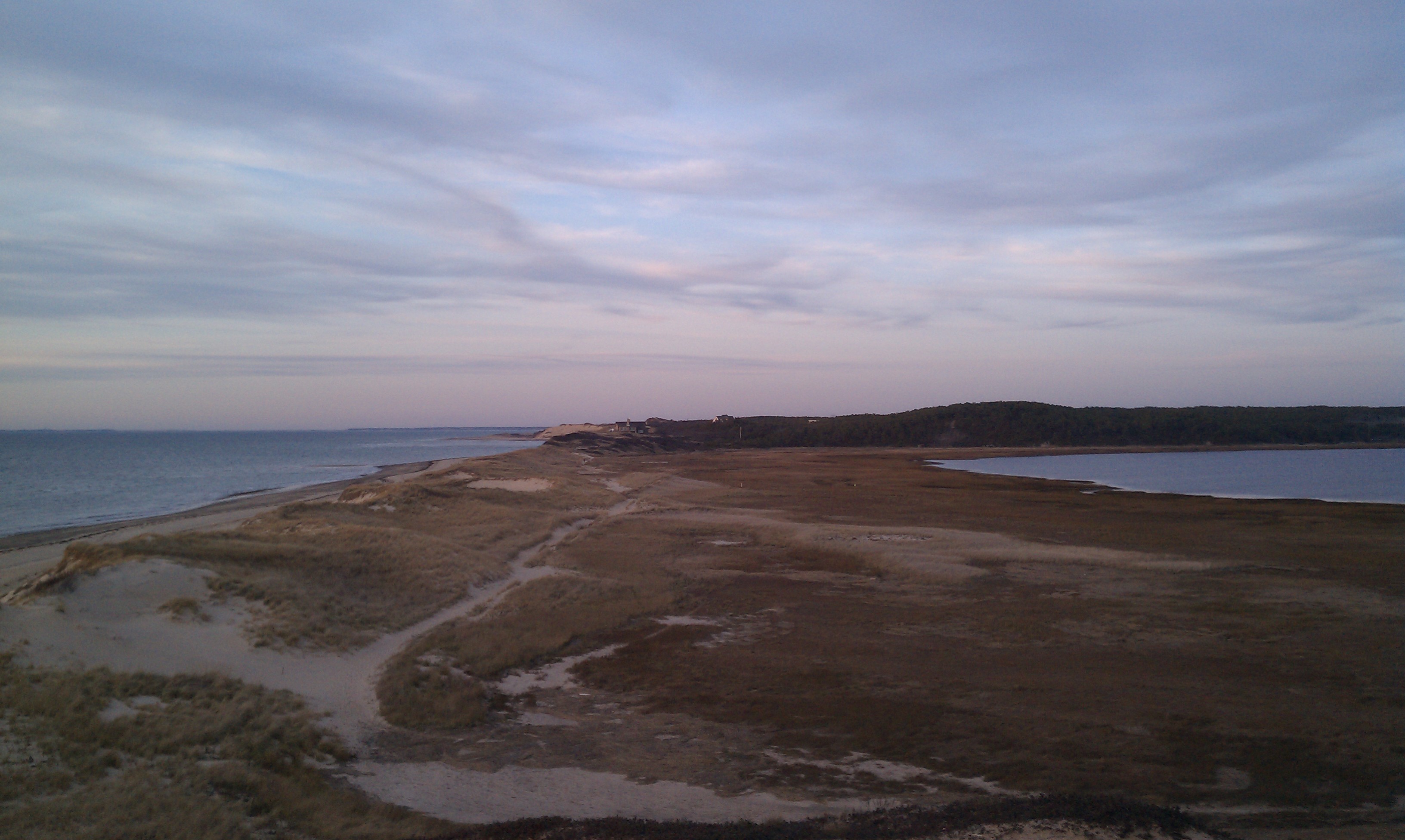
Here’s the same view, from a few yards back along the ridgetop:
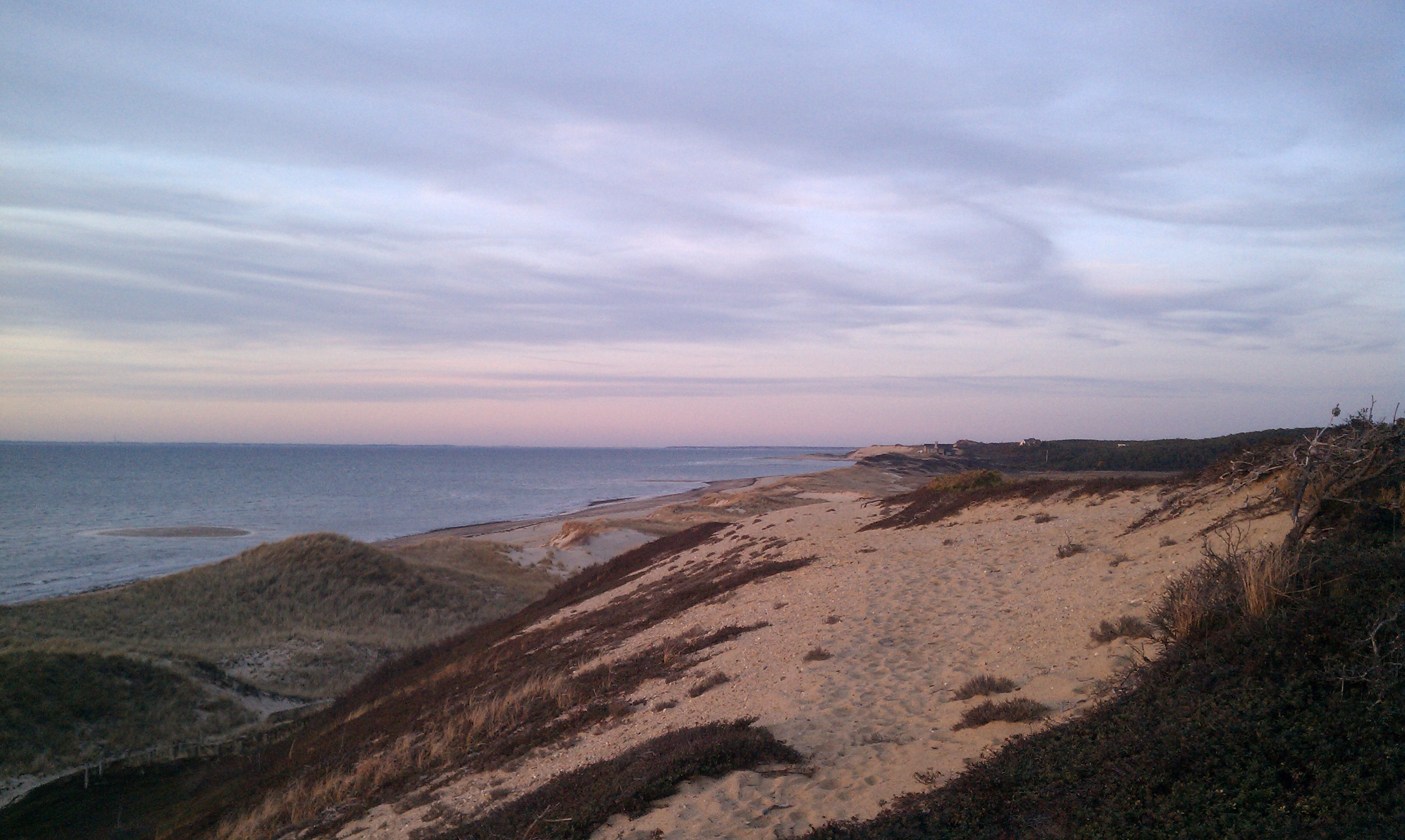
By this point the sun was setting over the Bay, with a little sun-dog in the icy clouds over to the right:
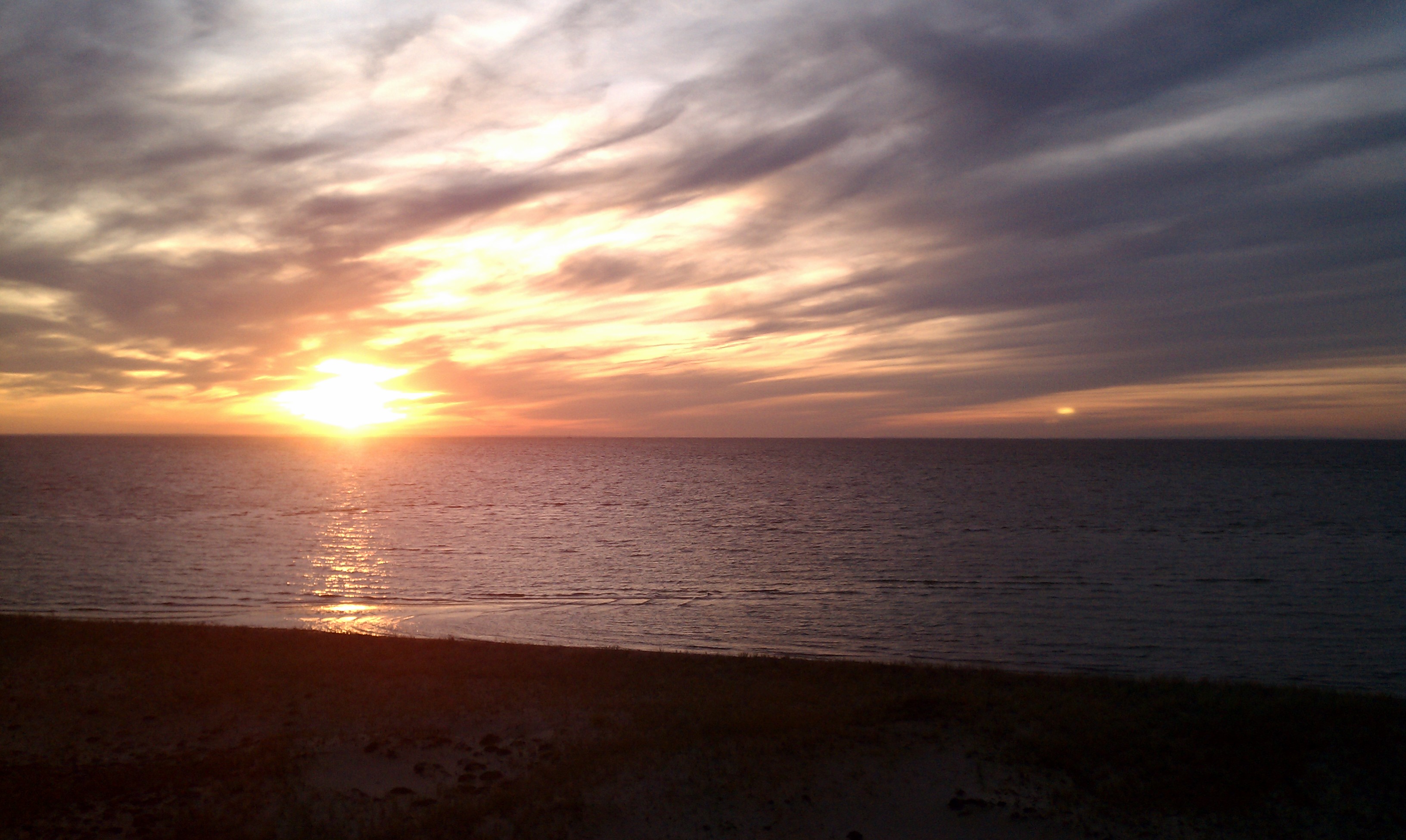
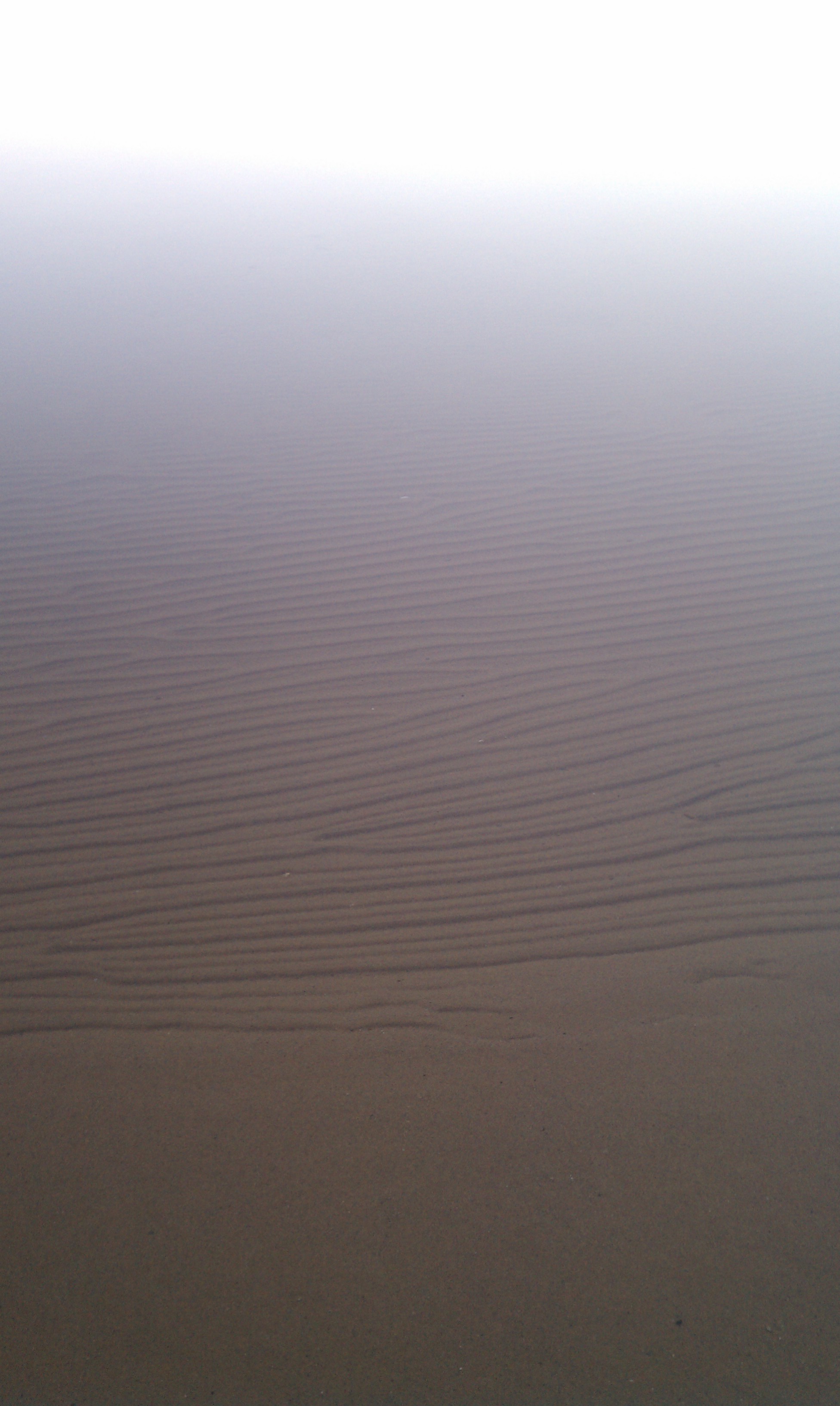
After the sun had set, I climbed down and walked out on the beach, looking west toward the mainland over the Bay. The tide was receding, and I was able to walk a long way out:
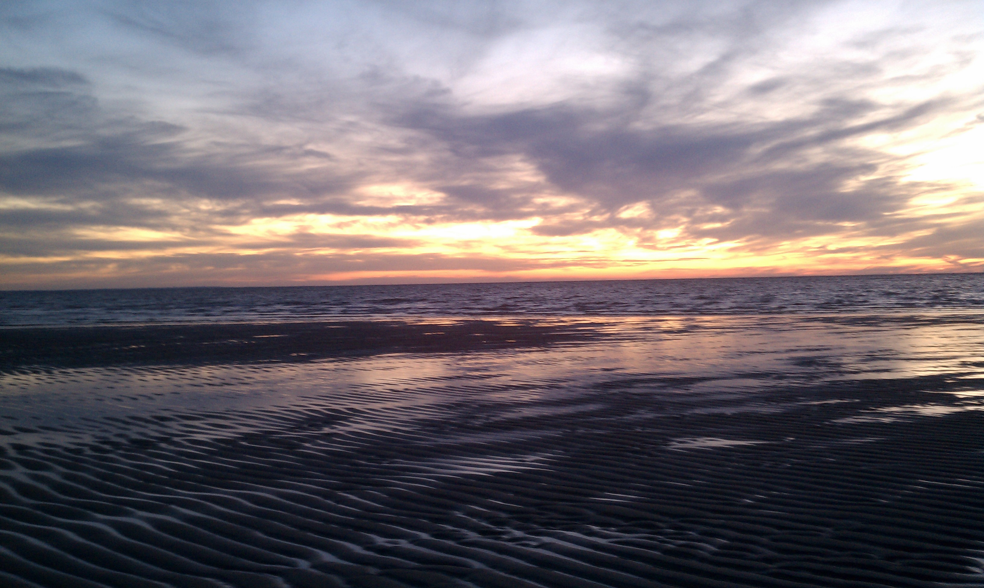
That’s all for today, I’m afraid. I’m sure there’s plenty going on in the busy wider world, but out here sometimes it’s kind of hard to care.
3 Comments
Thank you very much. Just one question. Well, two.
What’s a ‘kettle hole’? Salt or freshwater?
Fresh. The Cape is a terminal glacial moraine; the kettle ponds are where huge blocks of ice were left embedded in the ground as the glaciers receded. Over time they melted away, leaving holes that filled up with water wherever they ended up below the fresh-water table.
These ponds are generally very low in nutrients around here, due to the poor sandy soil, and are kept slightly acidic by the pine trees all around. So they tend to be what limnologists call “oligotrophic”: they don’t support much of an ecosystem. That makes them very clear and clean, with sandy bottoms. Just lovely for swimming.
Thanks. Spent a bit of time with John McPhee but couldn’t find “exactly” what I wanted. Sent a query to an Arkie hydrologist but he told me it’d “probably be better to ask a local.”
I kinda figured fresh but was puzzled over no signs posted with, “Don’t eat the fish.”