Friday, March 21st, was the first full day of Spring, and here in the outer reaches of Cape Cod, it was more lion than lamb. The temperature hovered in the thirties, and all day a steady wind roared out of the West. But the sun was shining in a cloudless sky, and after weeks cooped up in the city, I had to get out for a stroll. As it happens, I had a camera along, so readers may join me, if they like, on a three-mile mosey along the northern and western rim of Wellfleet Harbor.
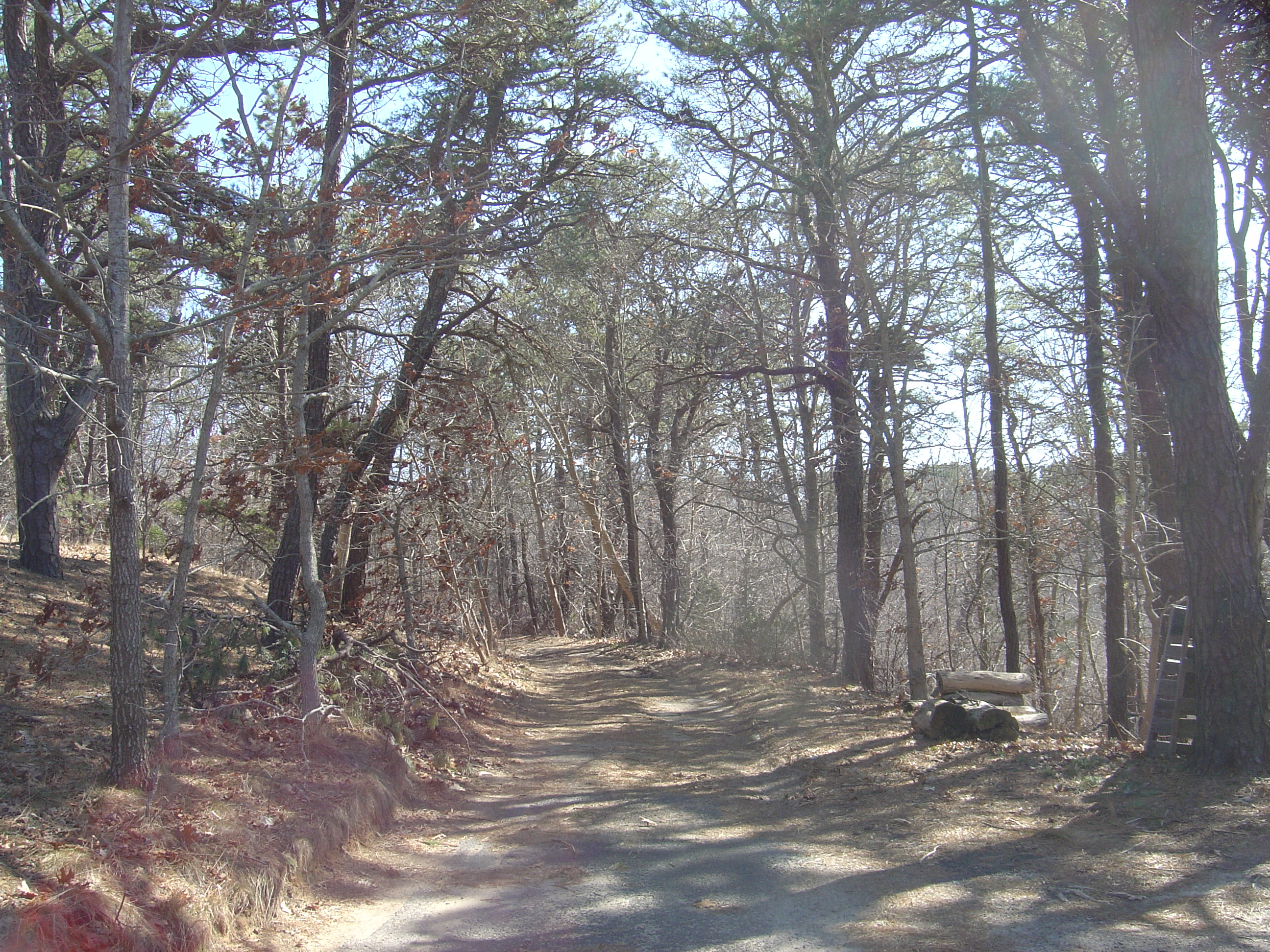
We begin on our little unpaved lane in the woods southwest of town. It’s so insignificant a thoroughfare that it doesn’t even appear on Google Maps, but on the map shown here it would go north from the junction of Chequessett Neck Road and Kendrick Avenue to the sharp northward bend of Hamblin Farm Road. Our humble cottage is perched atop a steep piney knoll known as Hiram Hill.
In the first shot we have just begun walking south, heading for Chequessett Neck Road. We’ll then be heading west, toward Cape Cod Bay, with Wellfleet Harbor on our left. (You can click on any of these images for a larger view.)
It’s about a quarter of a mile down to the main road. We amble along:
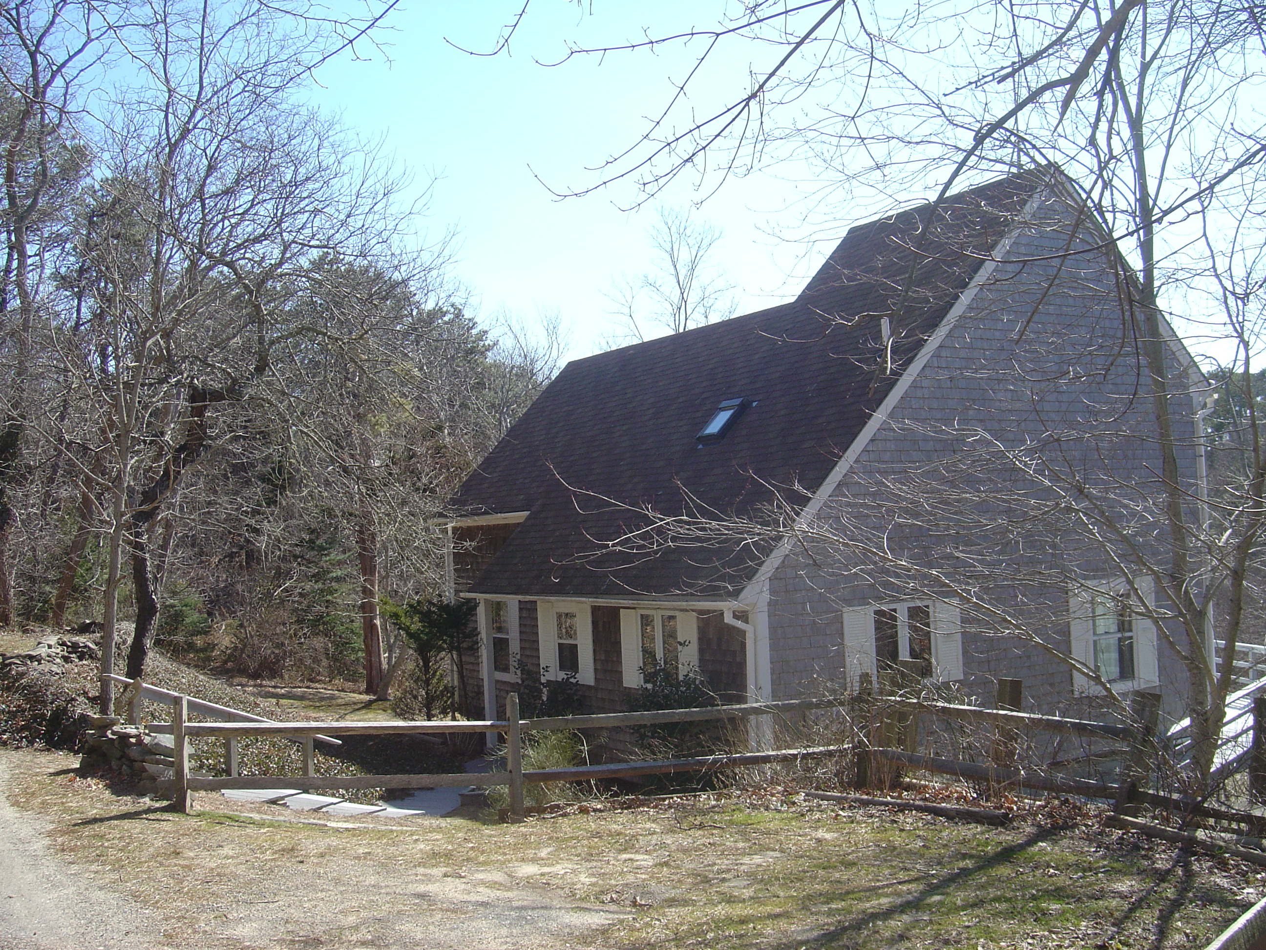
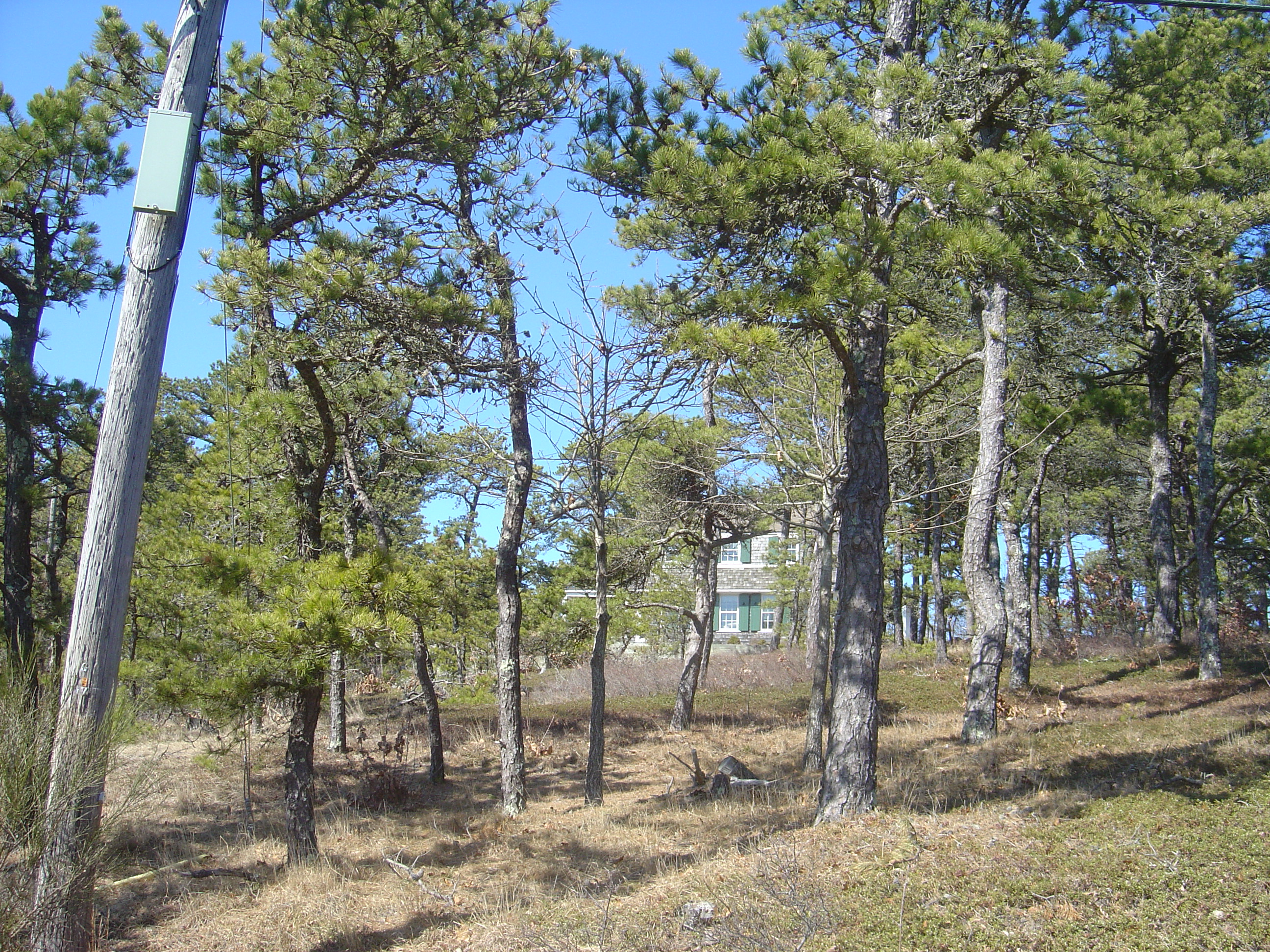
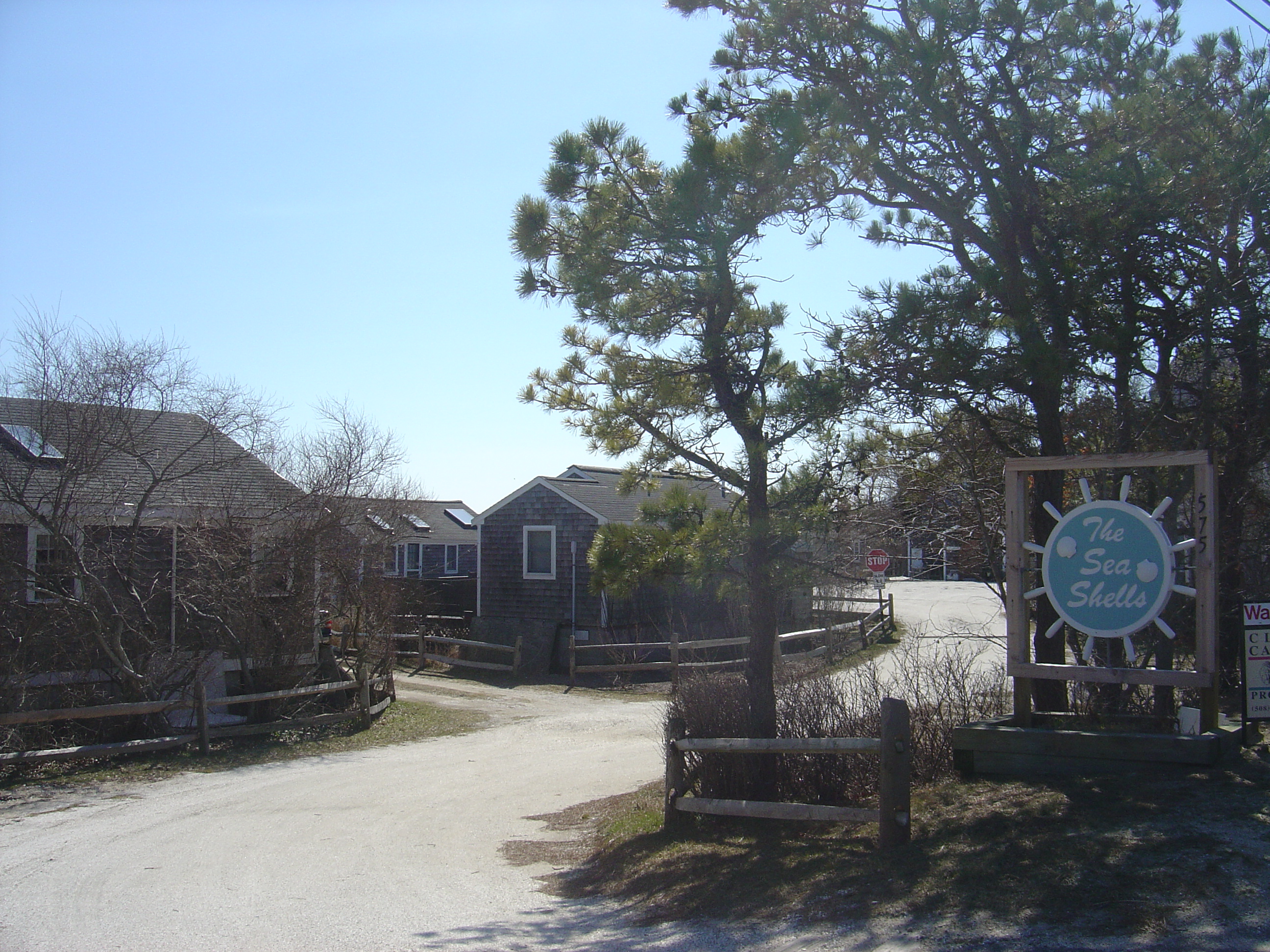
Past a neighbor’s charming little house on the right:
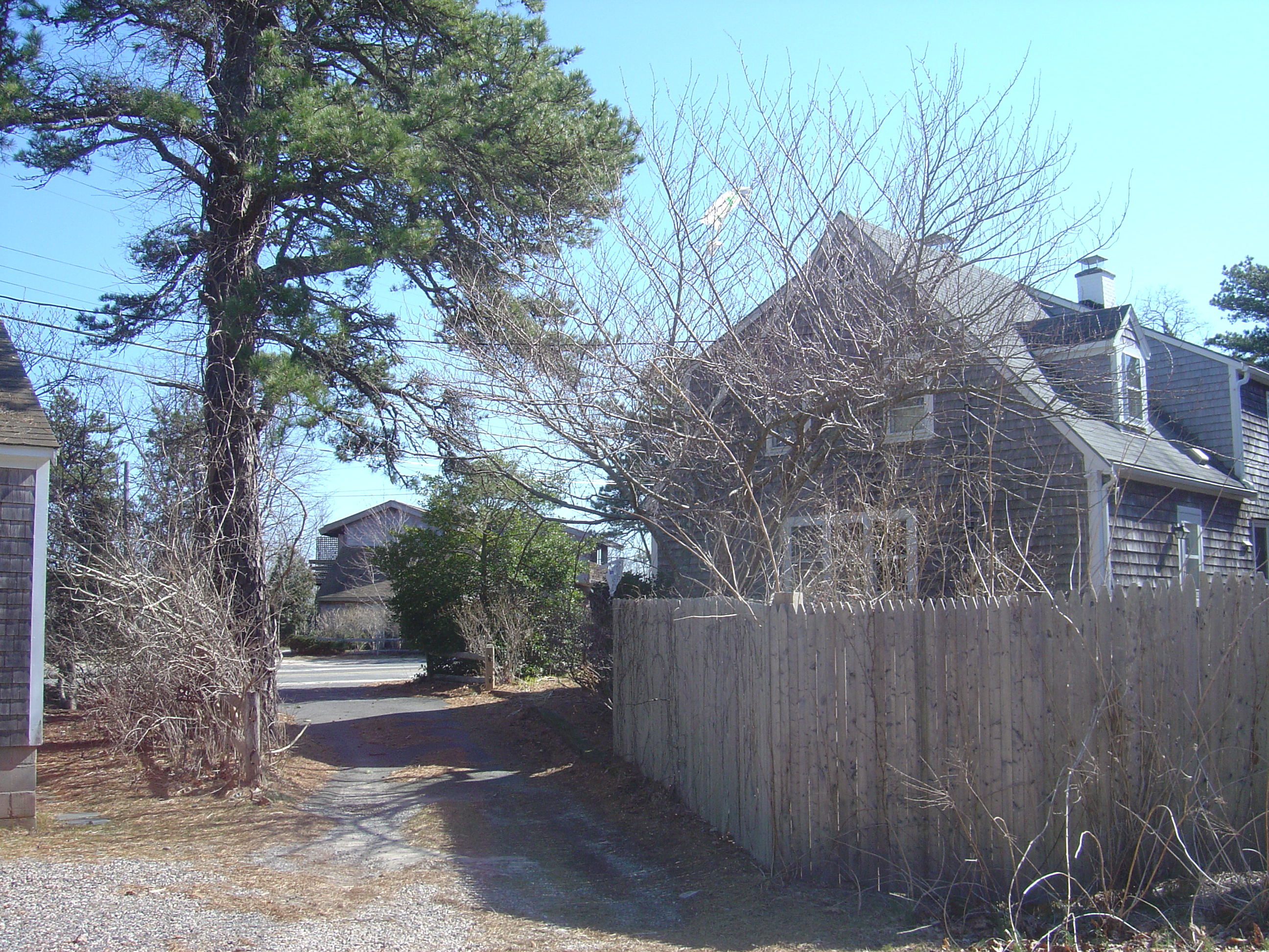
And, as we near the end of the lane, a cozy little cottage:
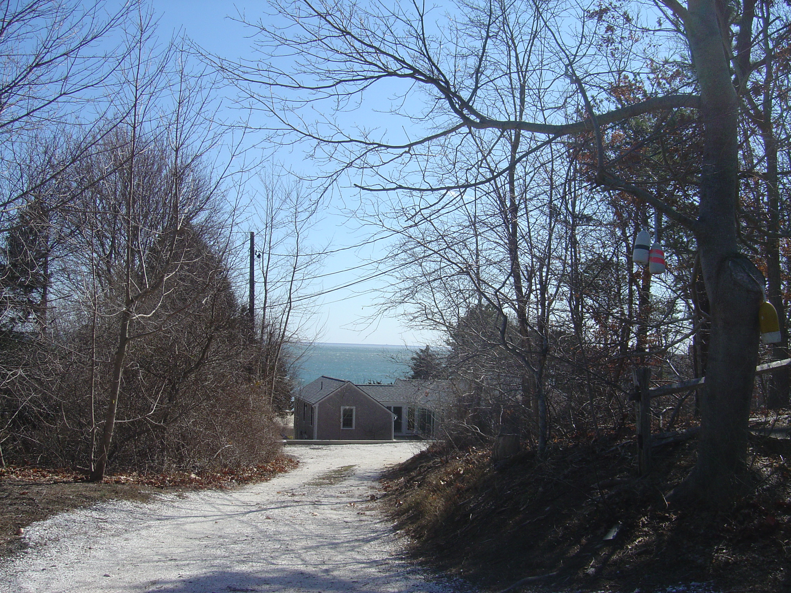
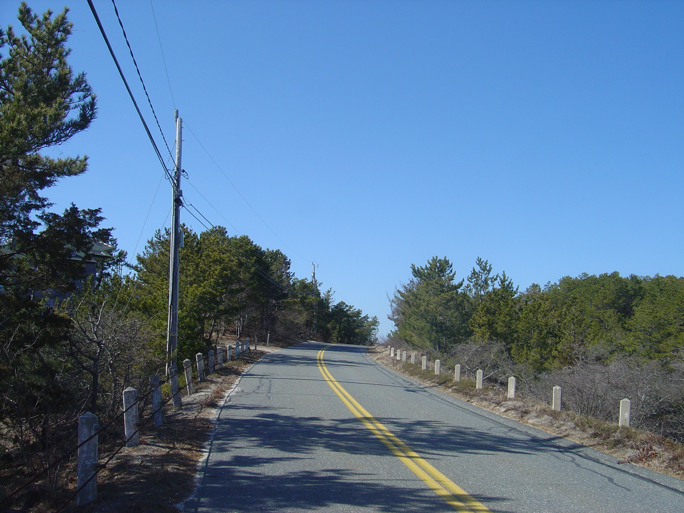
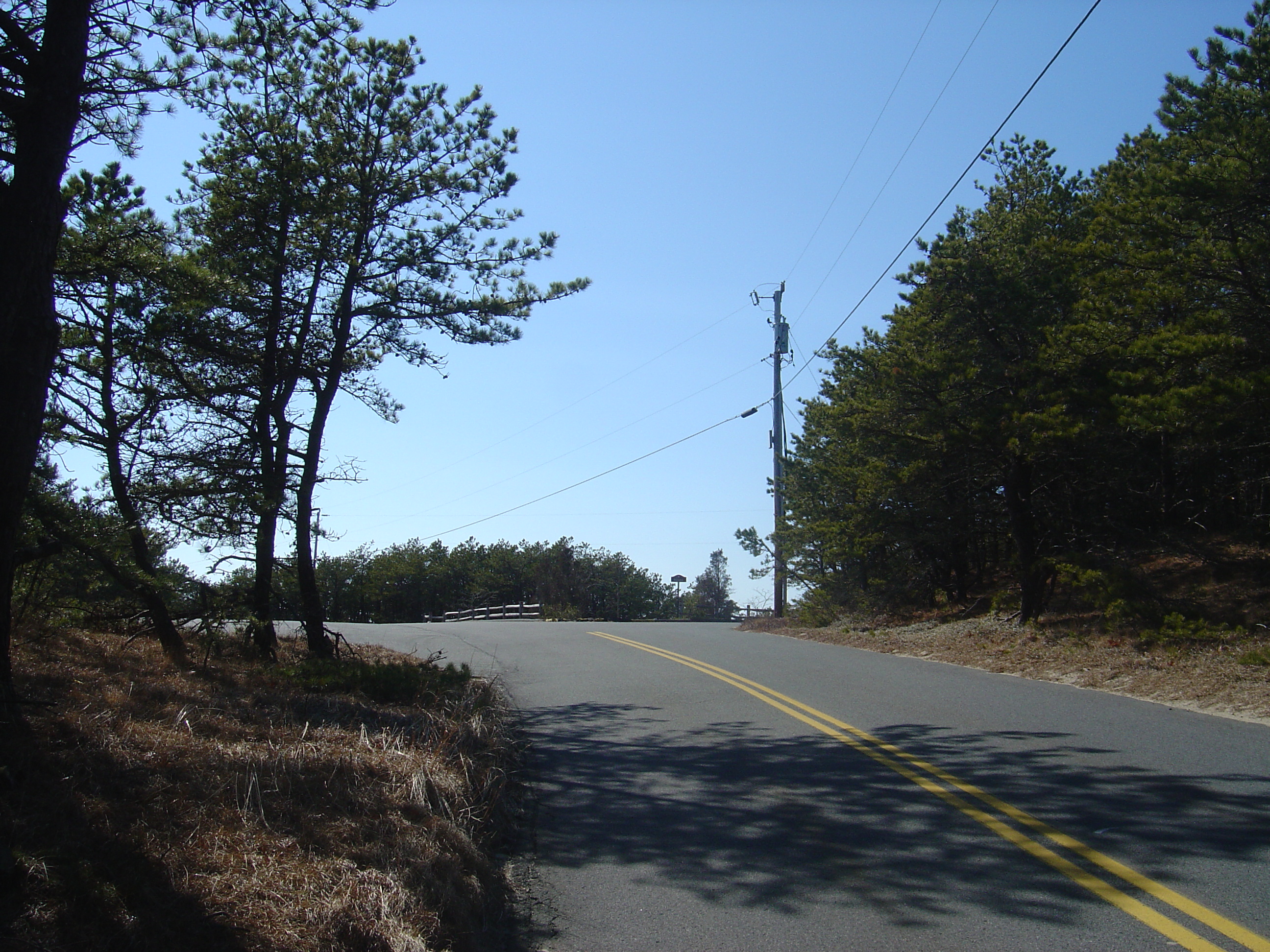
Now we have come to Chequessett Neck Road; we’ll be turning right, heading west. The harbor is just across the road.
Looking down a driveway on the left (south) side of Chequessett Neck Road, we see Wellfleet Harbor:
And on the right are the hardy pines that are everywhere out here. The soil in these parts is little more than sand, and the trees are battered by Atlantic storms all winter, so only a few species — mostly beeches, scrub oaks and these pine trees — seem able to prosper.
A little farther along, there is a barrier dune that protects a little tidal marsh. Here’s the view looking back toward the east along the shore:
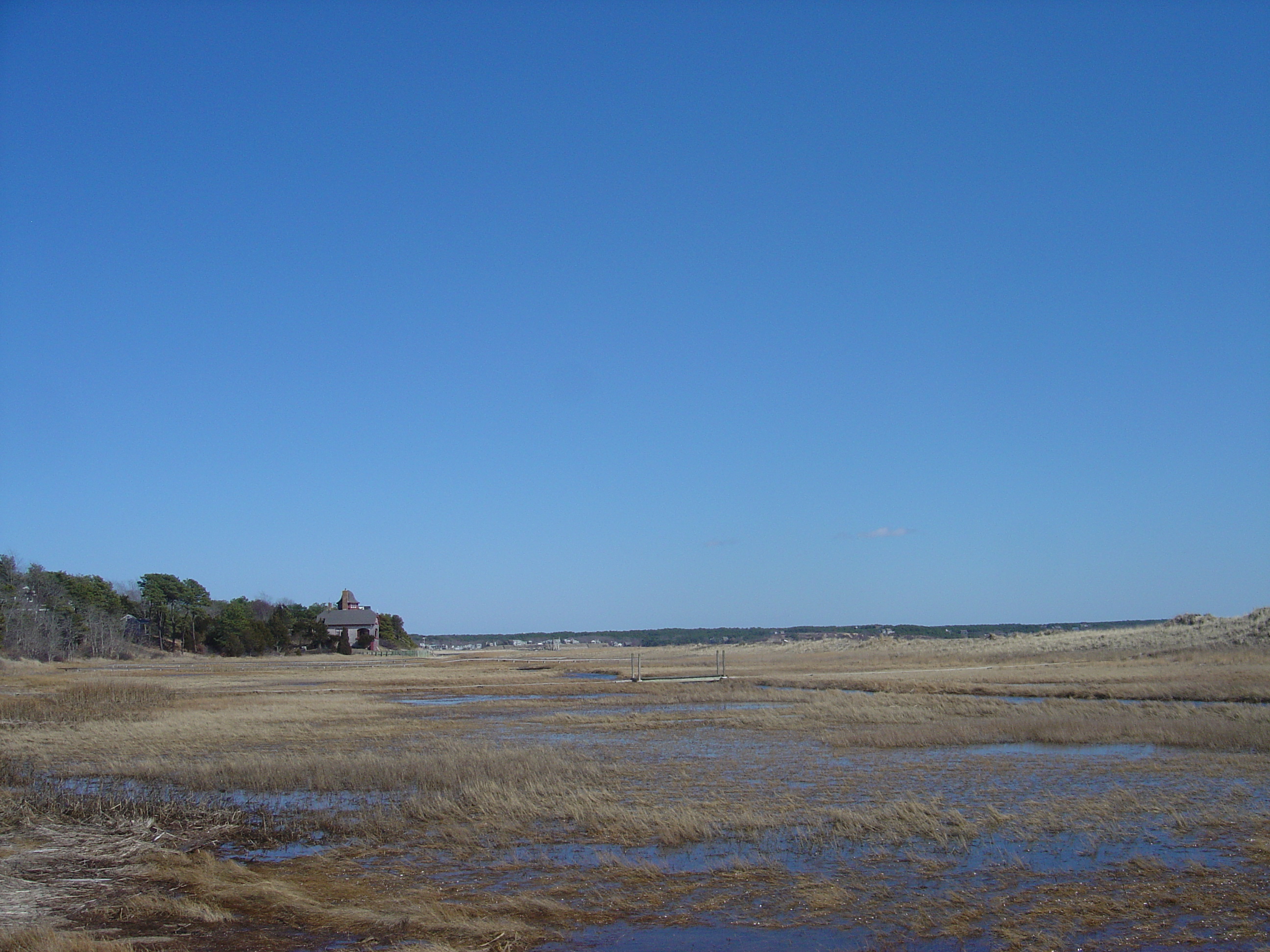
Next we come to Powers Landing, a little harbor beach:
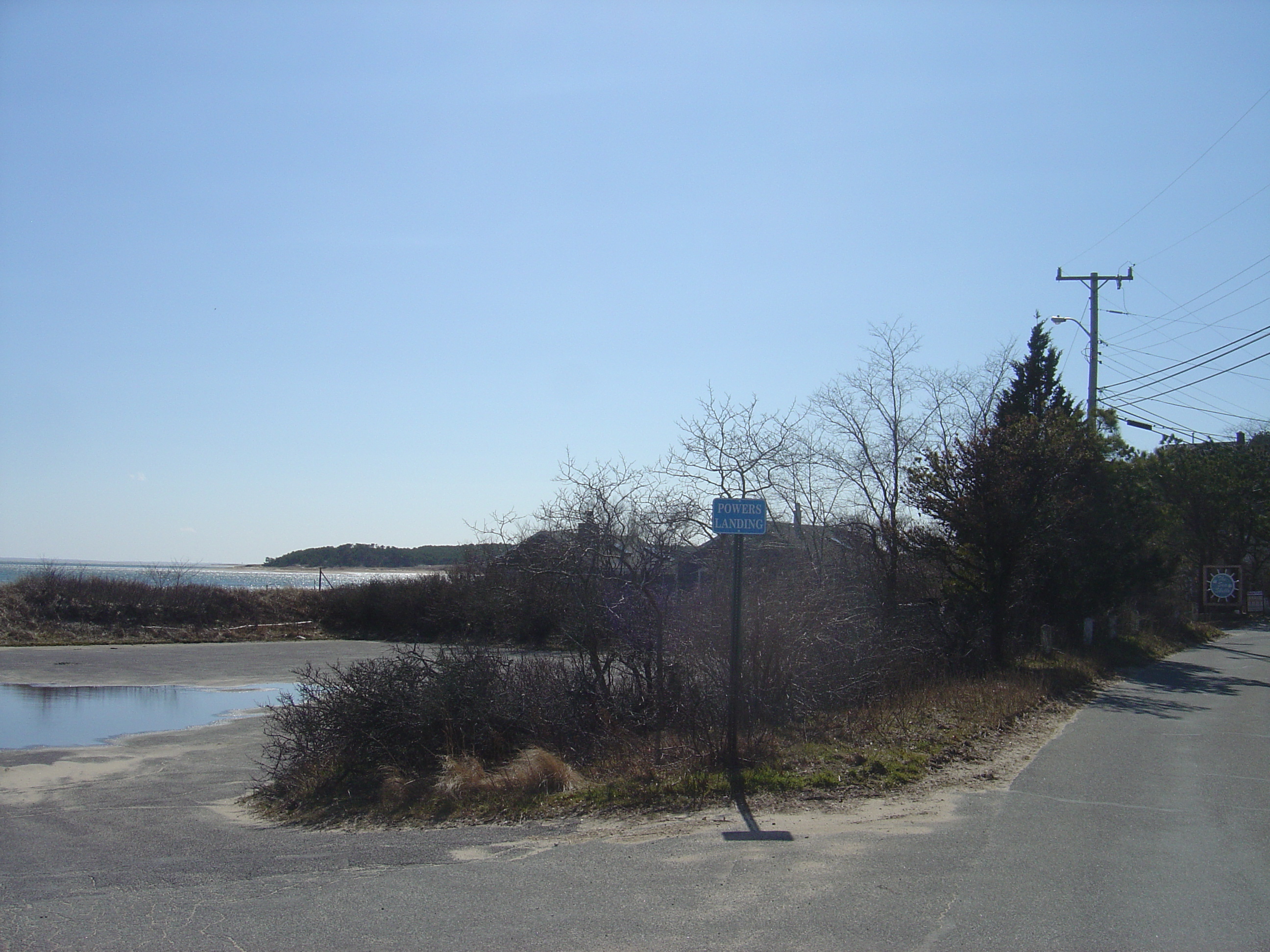
Here’s the view from the beach, looking southwest, with Great Island on the right:
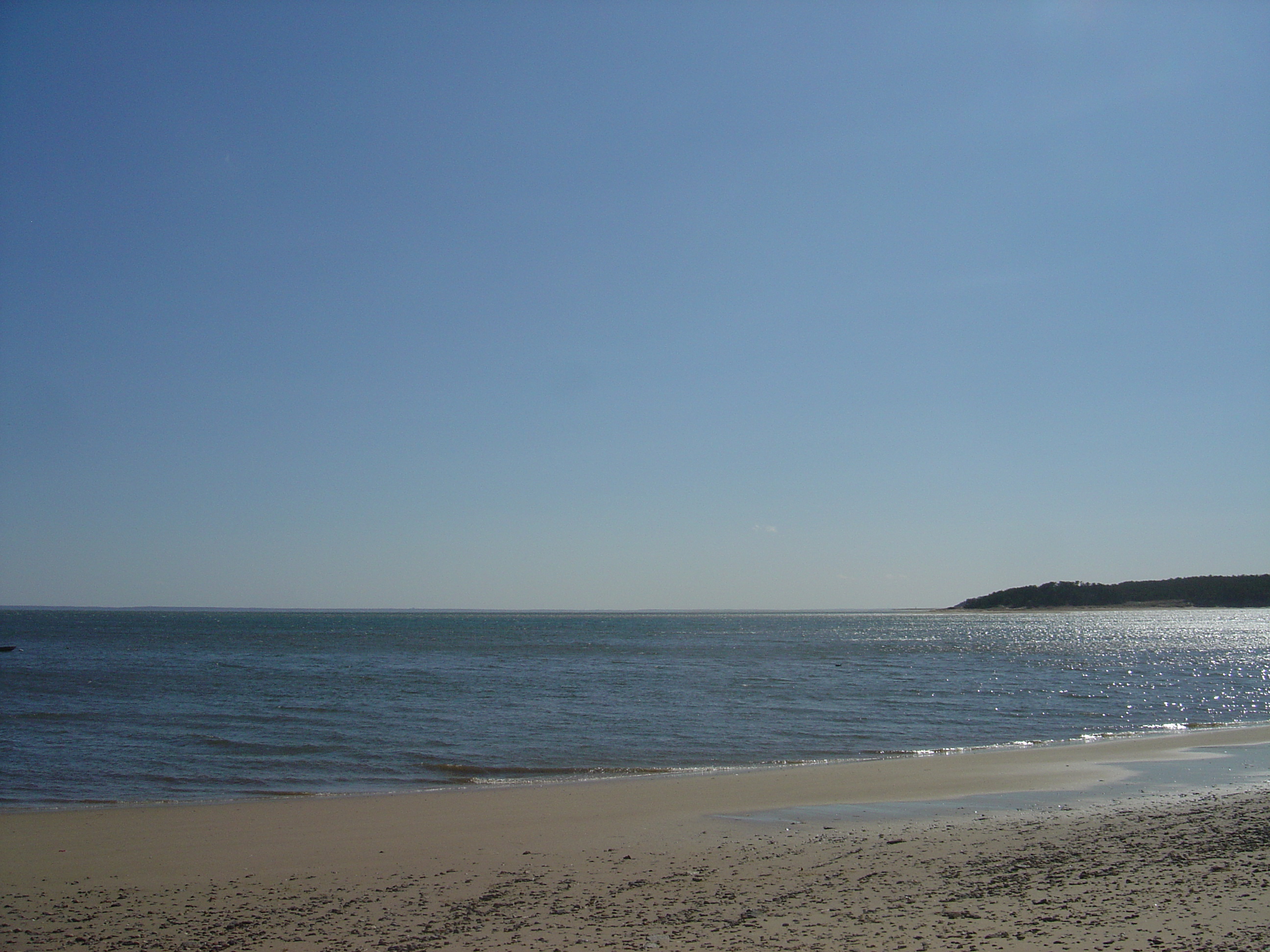
Just past Powers Landing are some little summer cottages…
…followed by a modest little shack perched above the water.
We come next to the Wellfleet Colony on the right, populated in the old days by artists, writers, and other free-thinking bohemians.
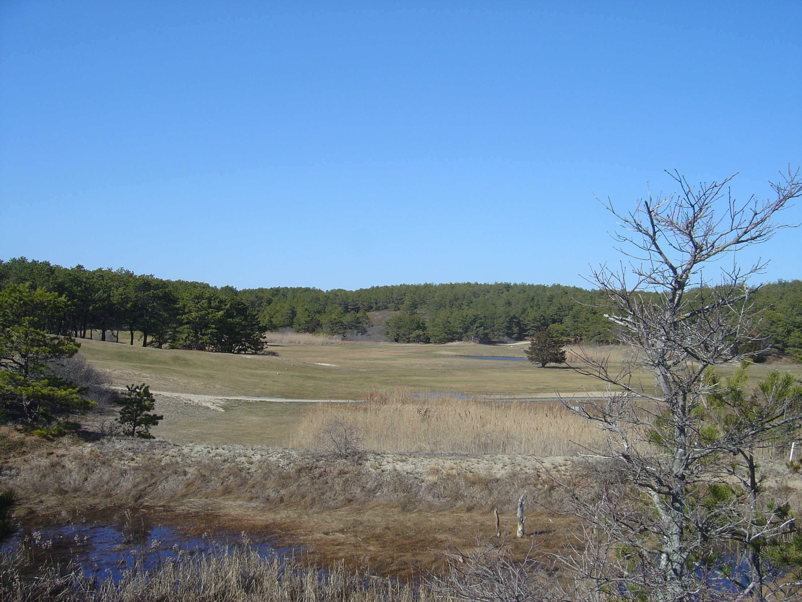
We soon pass the Chequessett Yacht and Country Club’s golf course, also on the right:
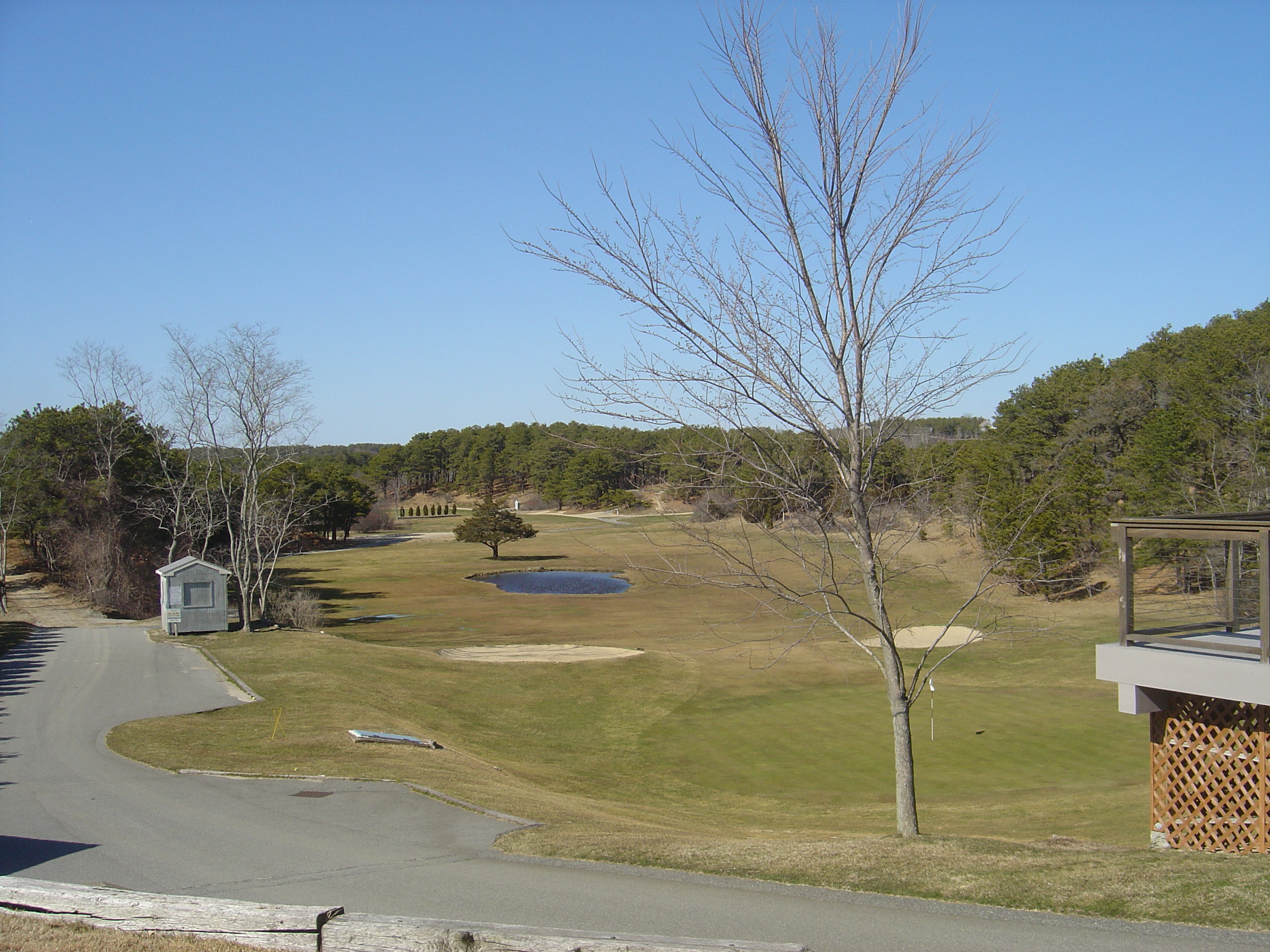
Looking left, we see its little beach.
The road gets less settled as we head west, and the land rises and falls. From the top of one rise we have this view of the harbor:
On the right, a little further along, we see more of the spartan golf course.
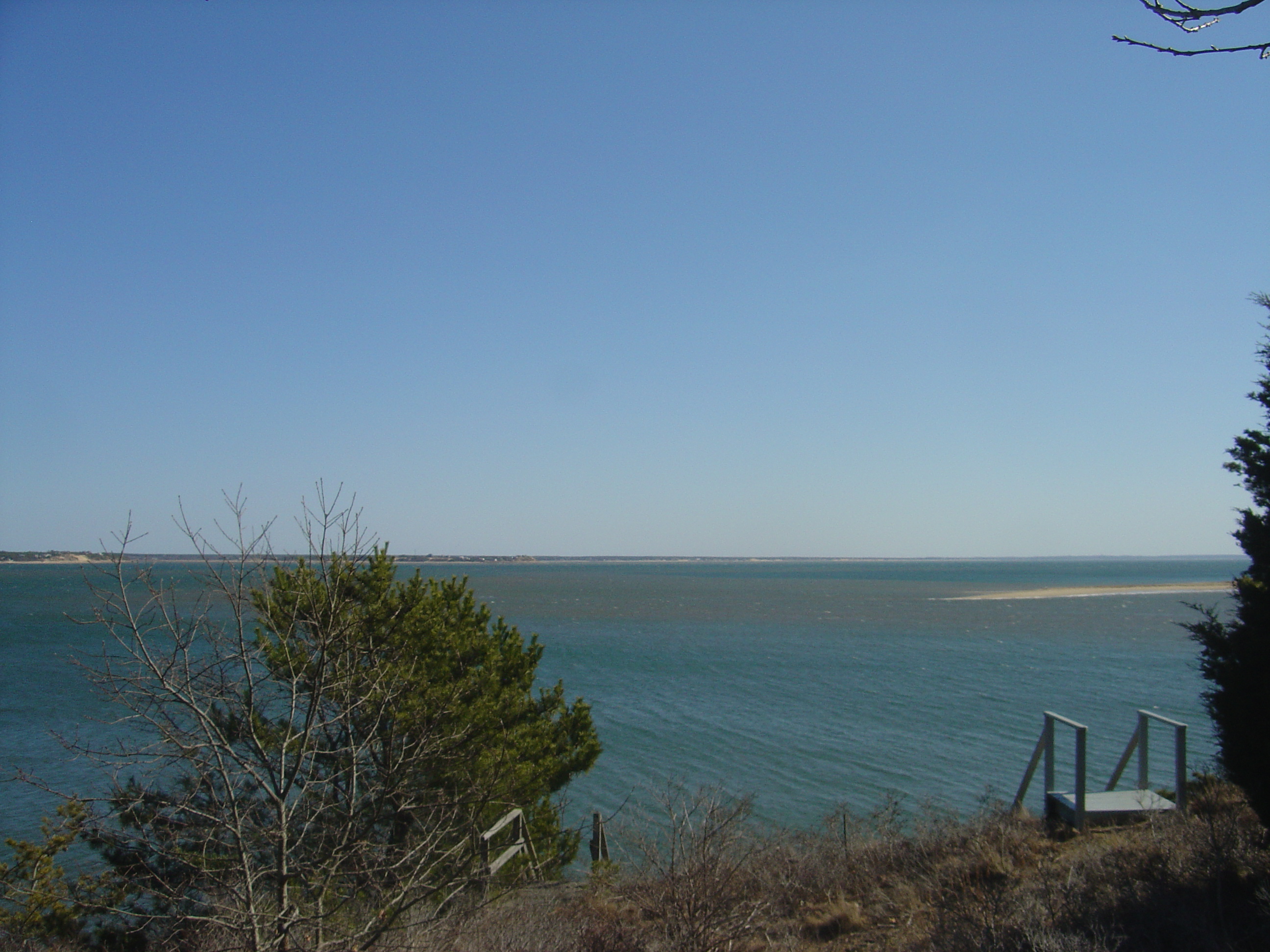
Now we are getting closer to the western edge of the Cape. In this shot, looking west, we see the harbor, a thin strip of Great Island, and Cape Cod Bay beyond. That little strip of land is where we are headed.
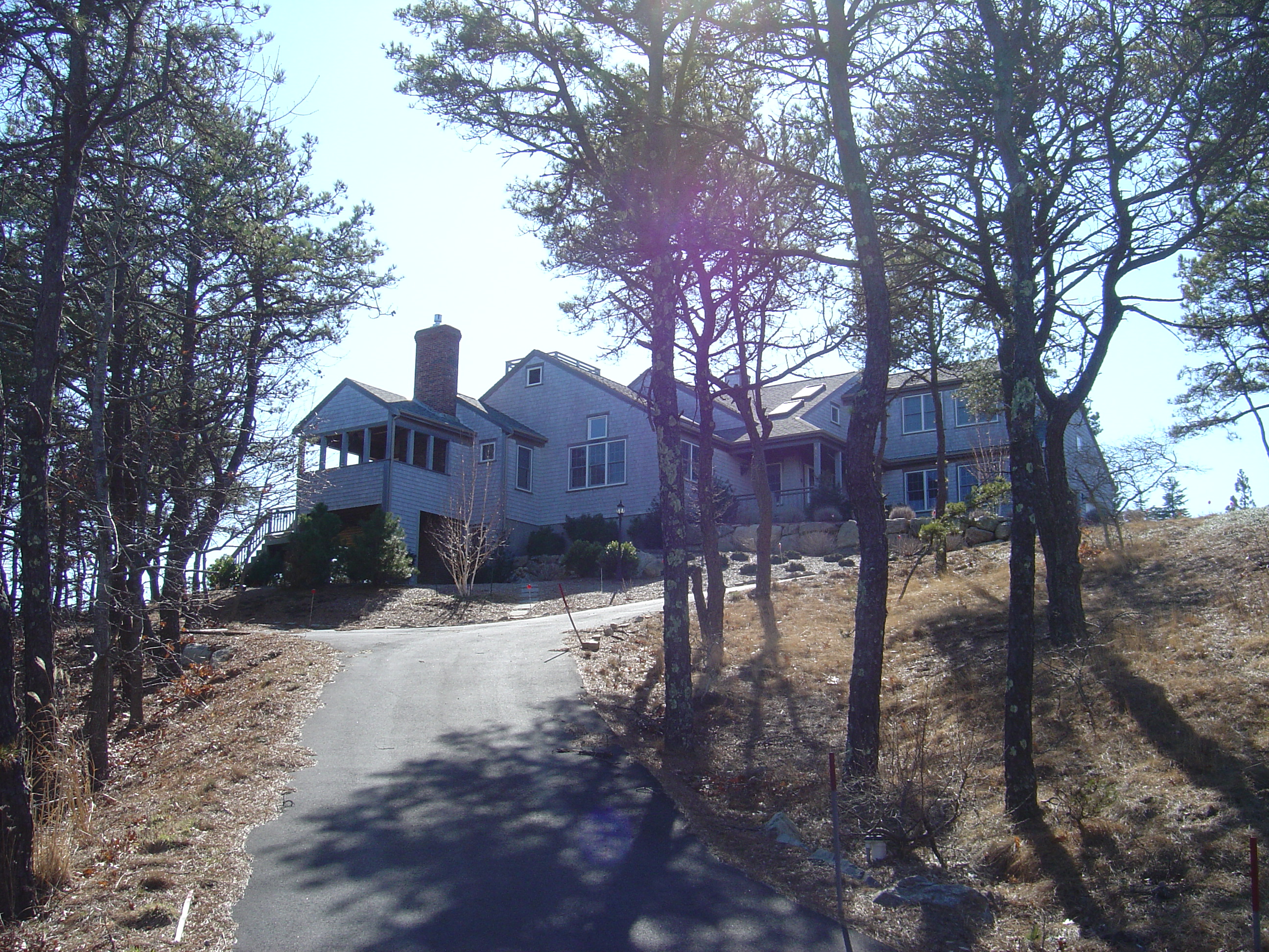
This house has a splendid view:
The road bends north and goes over a rise:
And then down toward the Herring River dike and bridge.
The Herring River is really just a tidal estuary; it is home to a great variety of wildlife. Years ago it was dammed by a small dike; efforts are underway to restore it to its original state. We look up the river — northeast from the dike — in this view.
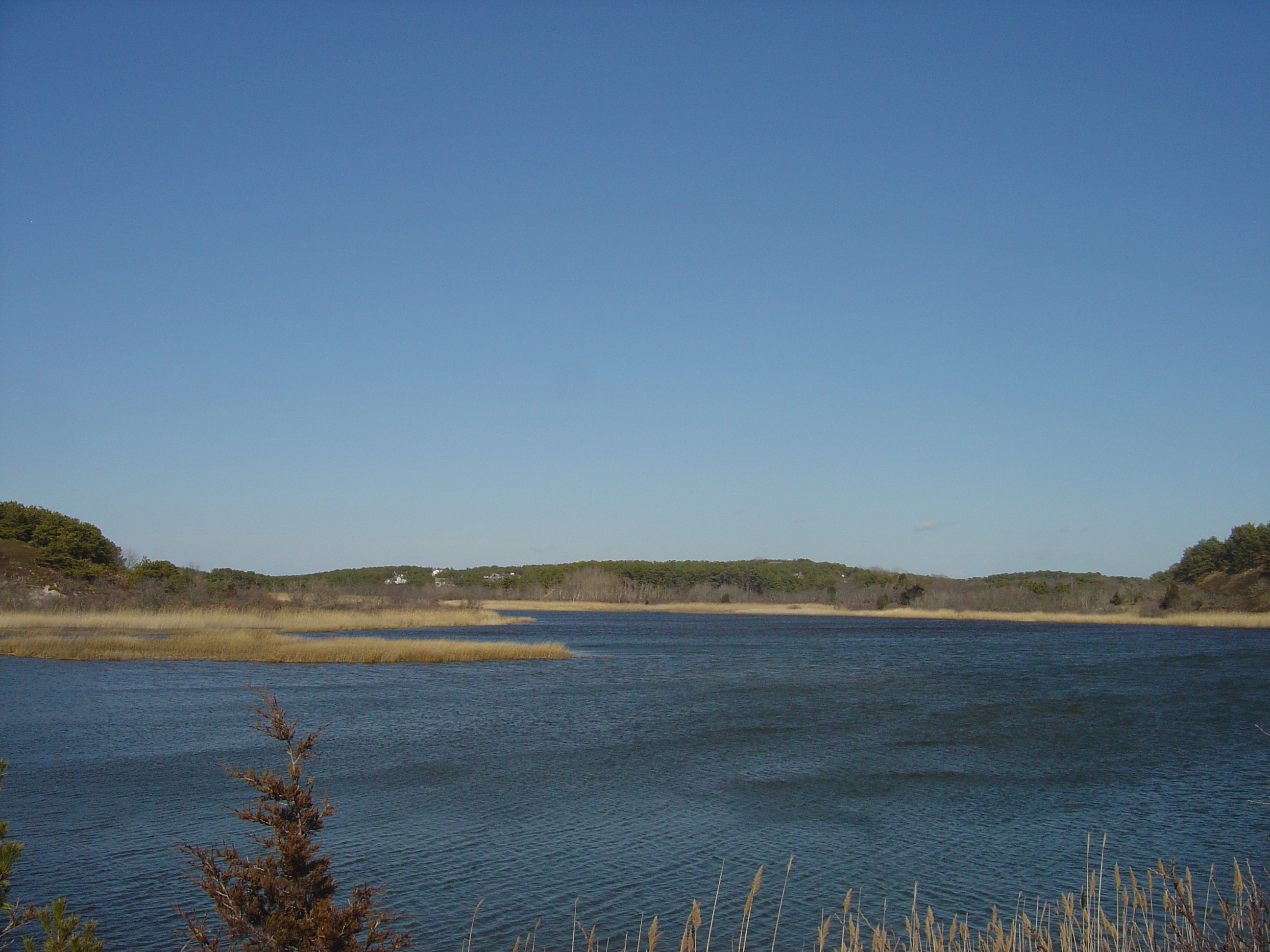
Looking southwest from the dike we see the enclosed estuary, an arm of Wellfleet Harbor, known as “The Gut”:
Here we look back at the south side of the dike:
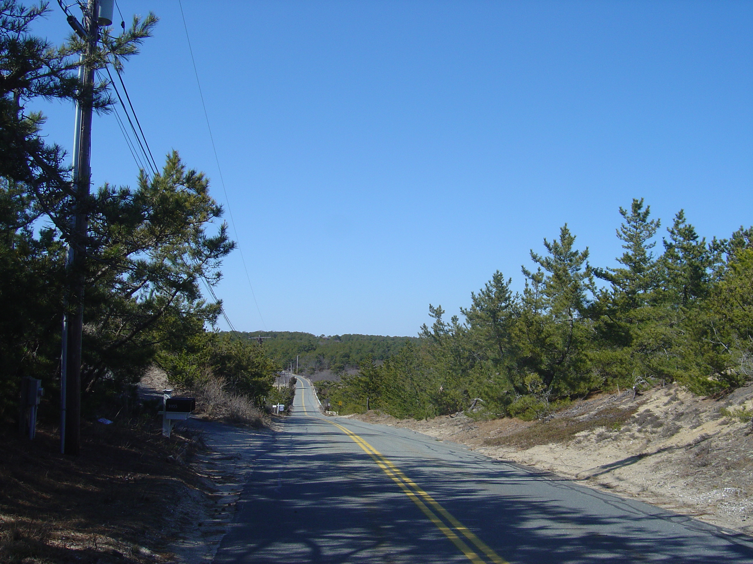
Chequessett Neck Road now passes through some rolling woodland:
And at the top of a little hill the road ends. To the right is the road down to Duck Harbor, and on the left is Great Island. We are very close to the western shore of the outer Cape here.
Great Island is maintained by the National Park Service as part of the Cape Cod National Seashore, which was created by President Kennedy.
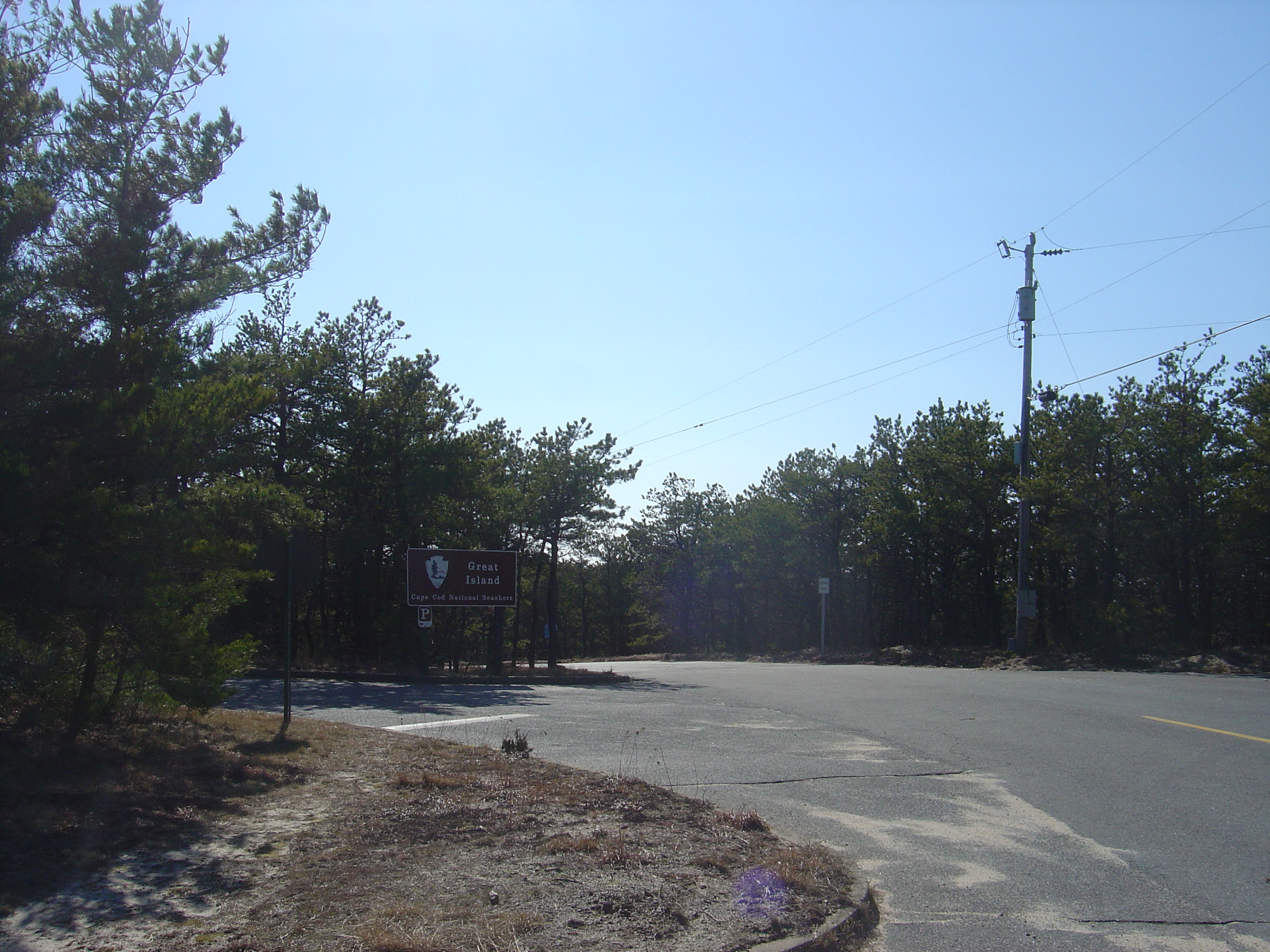
There are trails…
…and a guide for the perplexed.
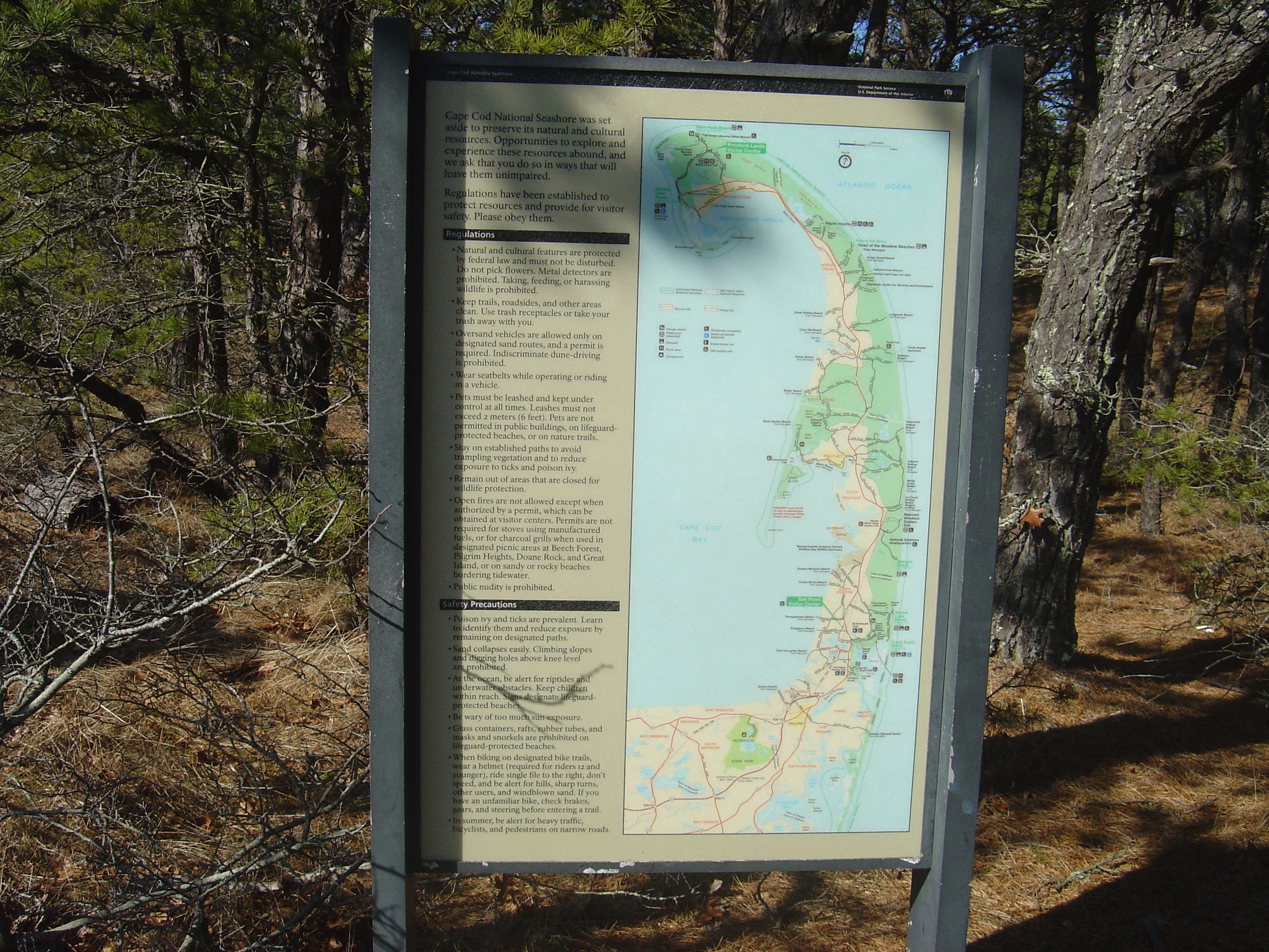
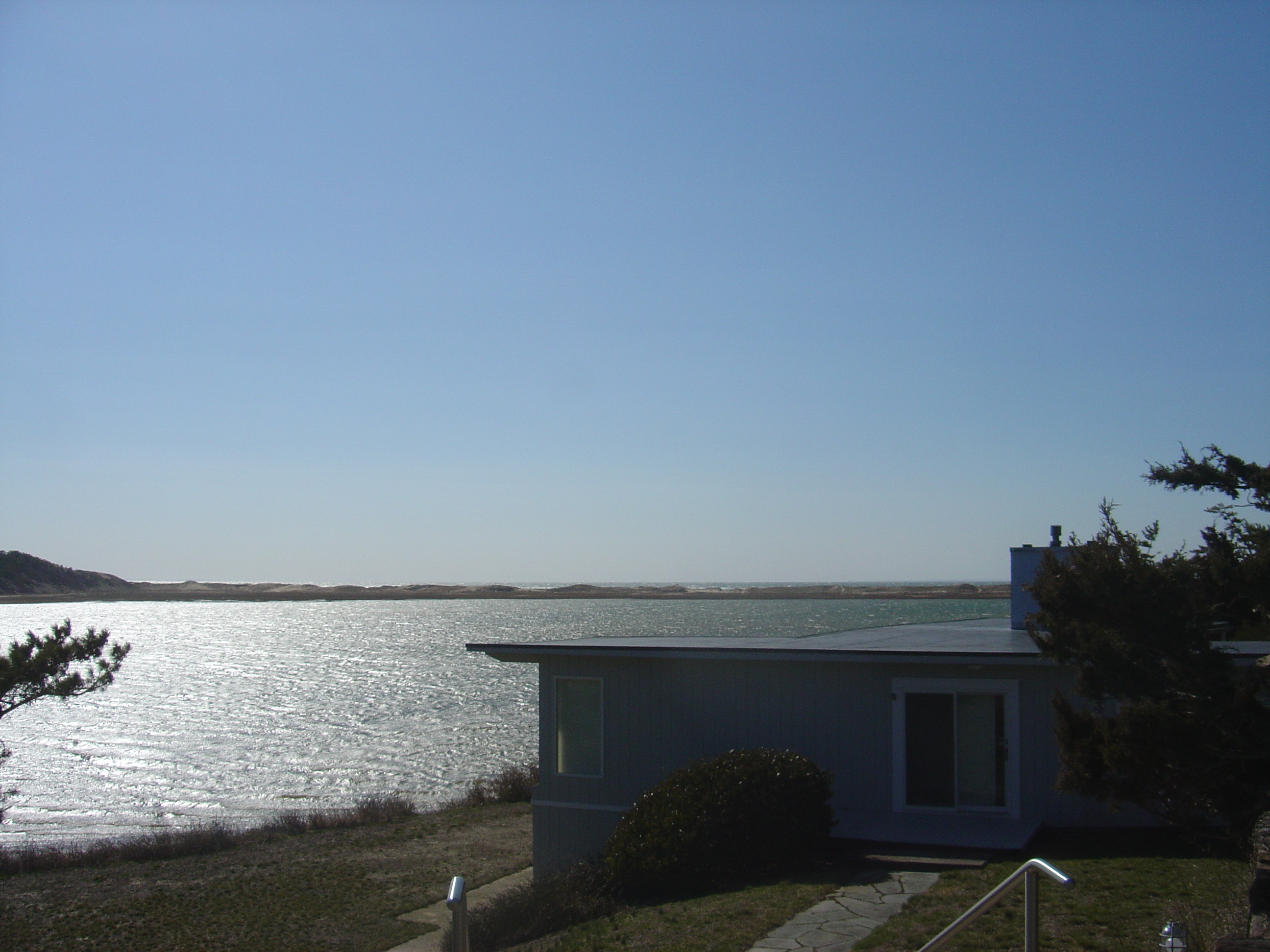
After passing briefly through the woods, the trail follows the west rim of the harbor. There is a solitary house out here, up on the dune at the water’s edge:
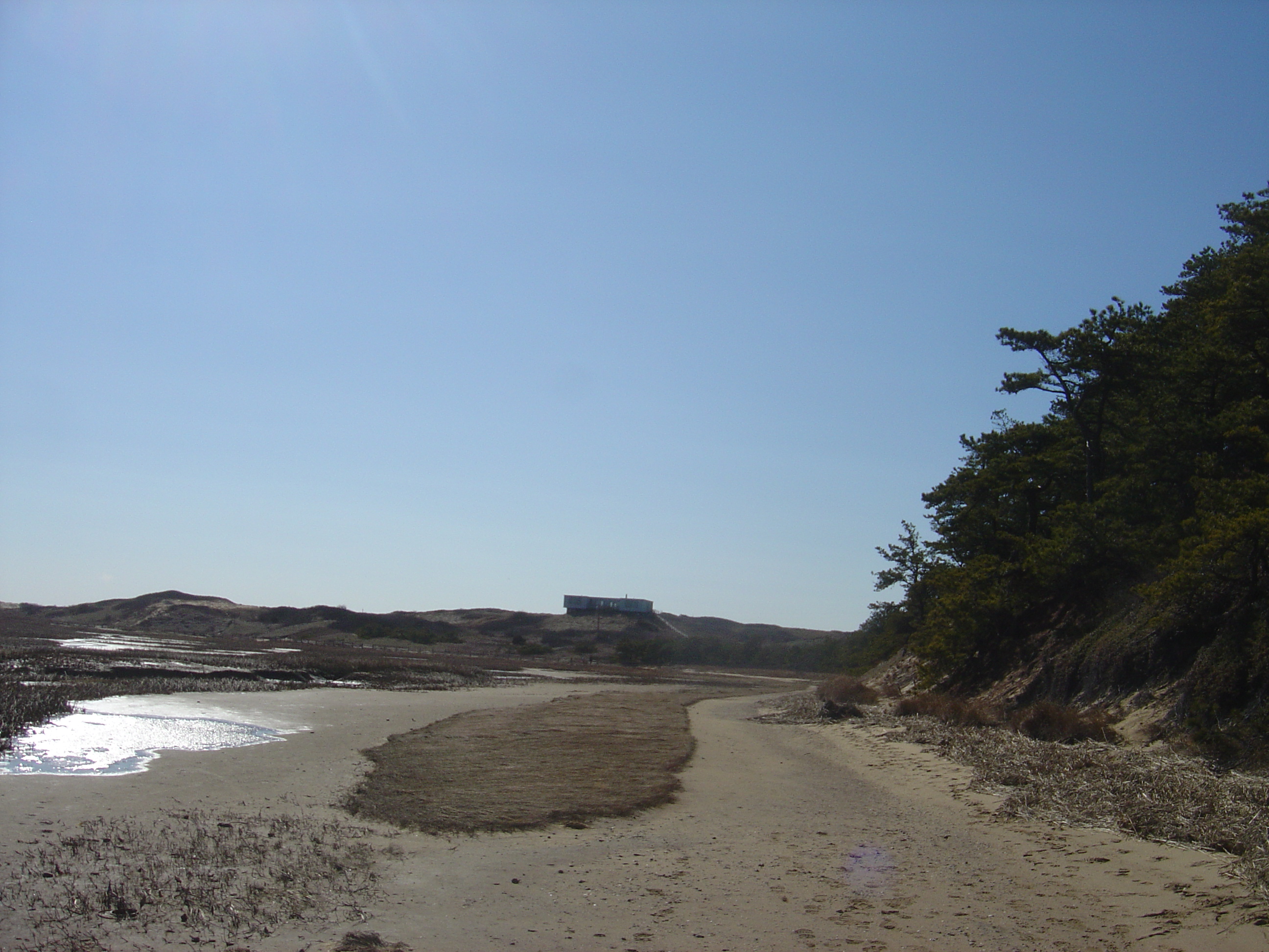
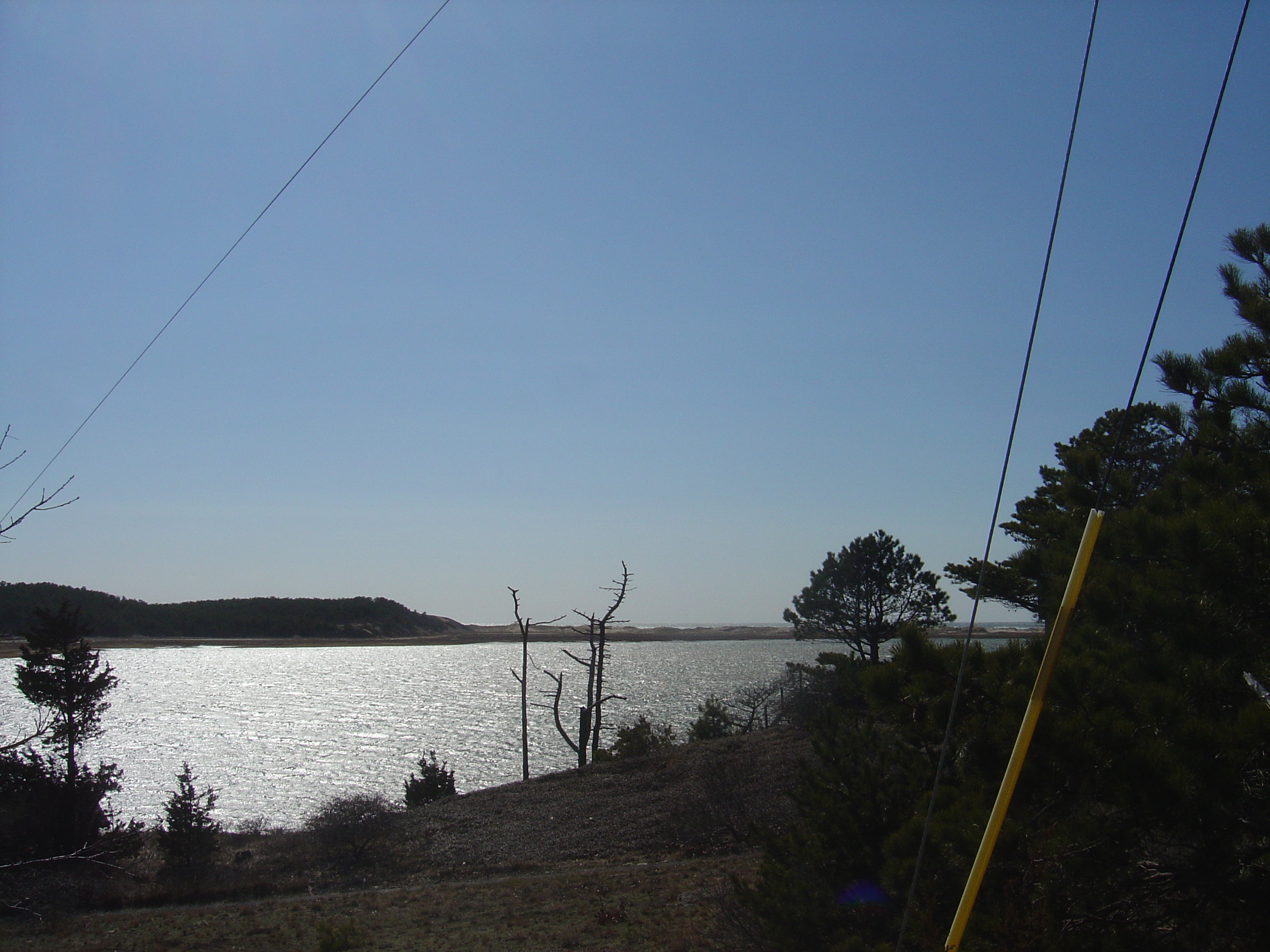
Here’s a look up at it as we pass by. We are now looking west; we are standing on the inside of a very narrow ithsmus separating Wellfleet Harbor from Cape Cod Bay.
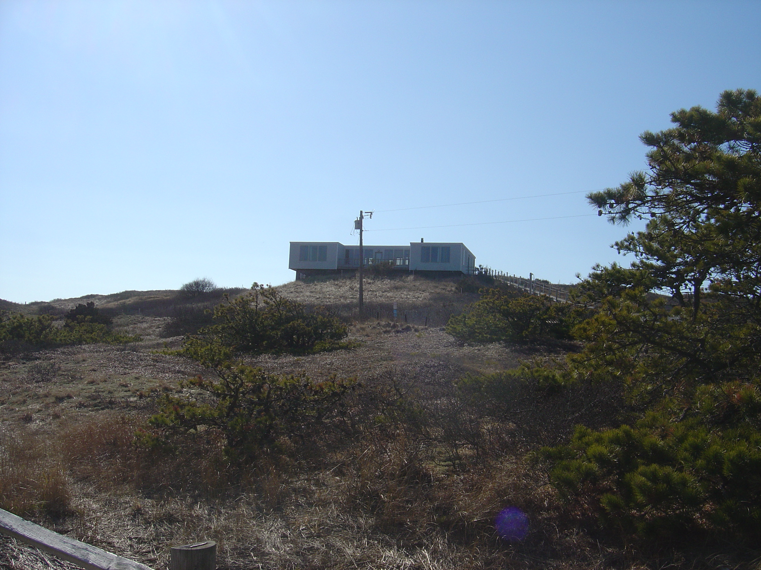
Turning to the left, we are looking east, back across the Gut and along the north side of the harbor, towards town.
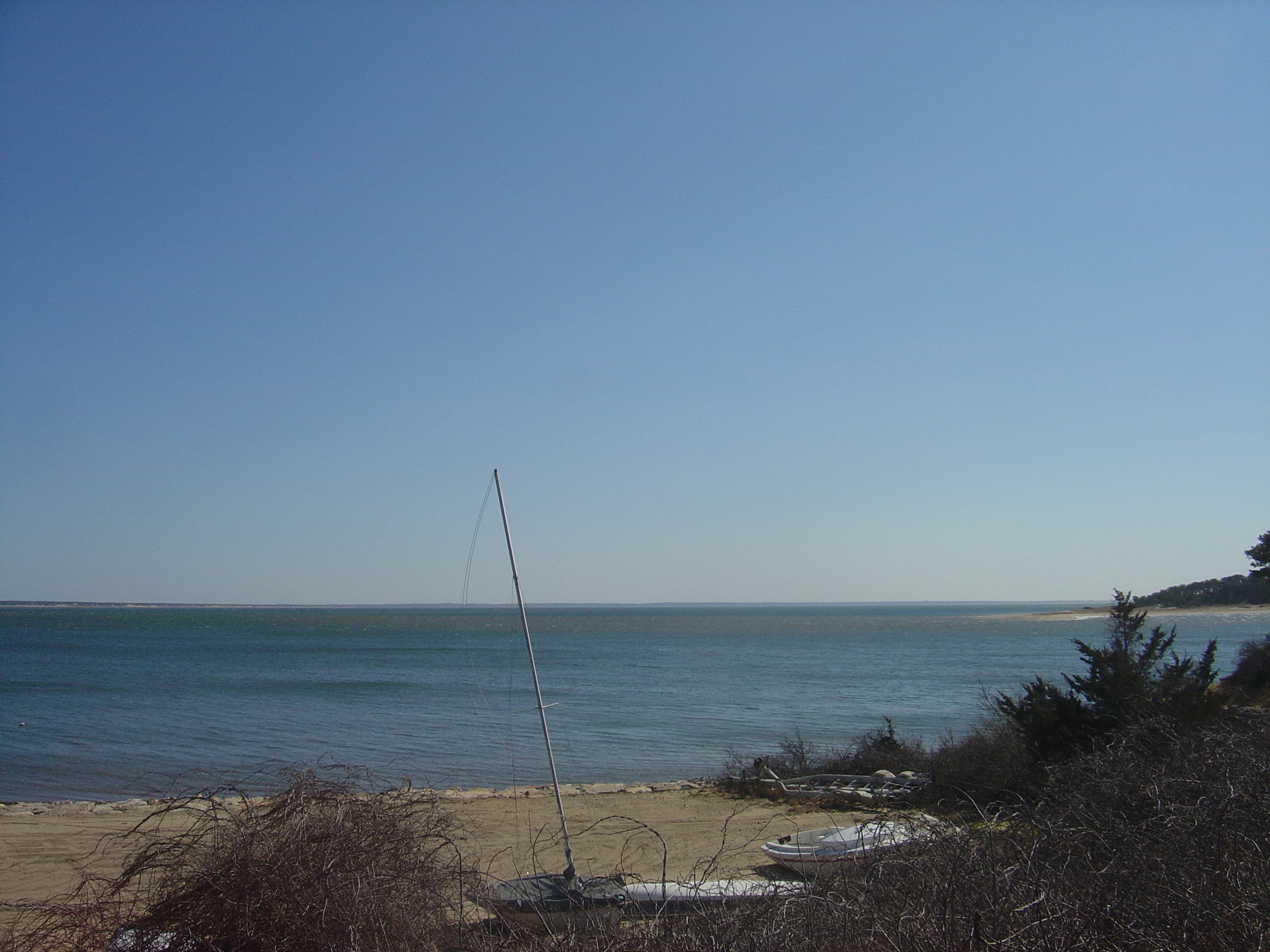
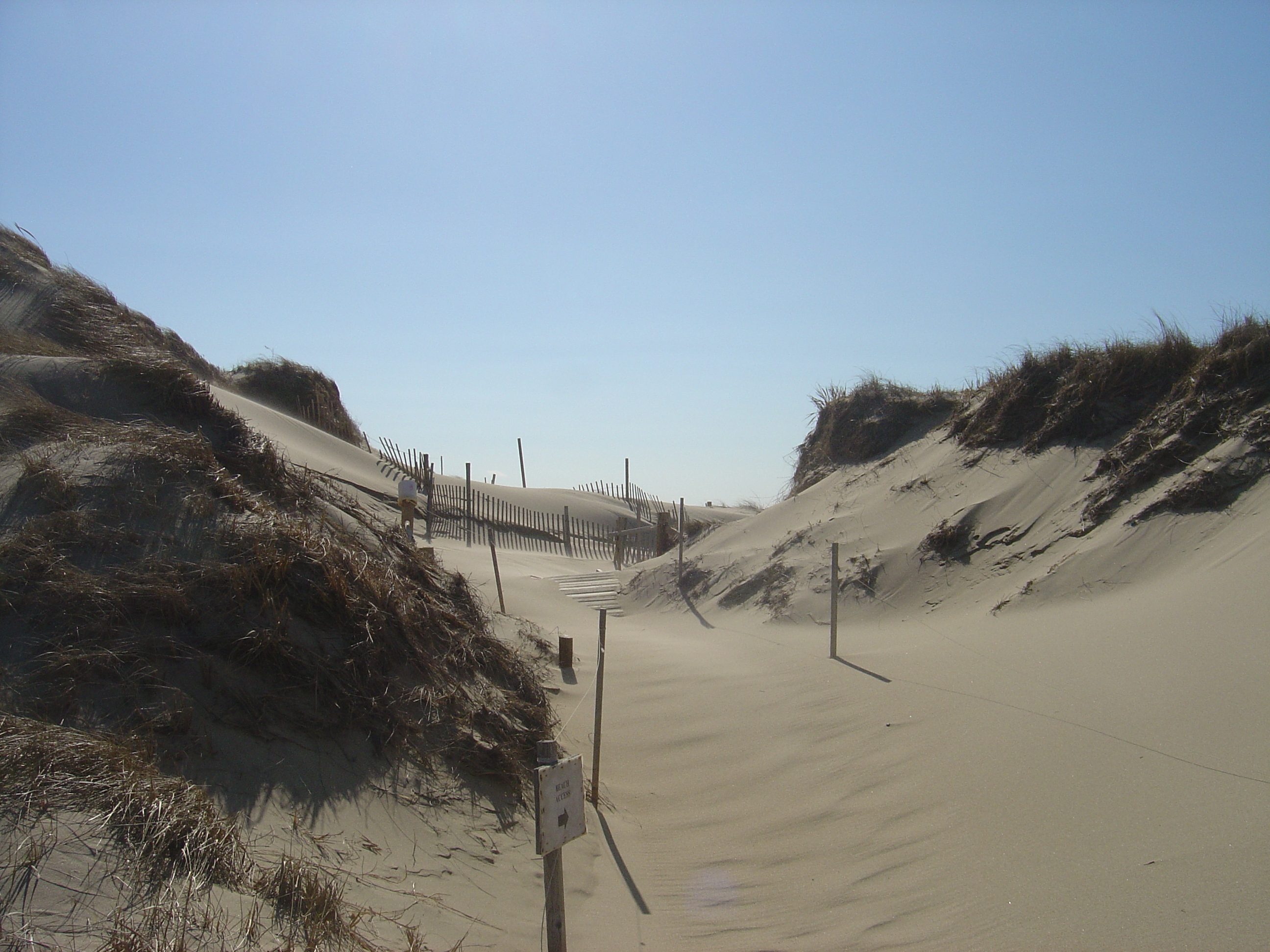
We continue down the trail, now heading mostly south. Over the dune on the right is the Bay. What you can’t see in these shots is the howling wind, laden with flying sand. It is cold, and harsh. We have the place to ourselves…
Out here, sooner or later the sand covers everything. Cape Cod is just a fleeting thought in geological time.
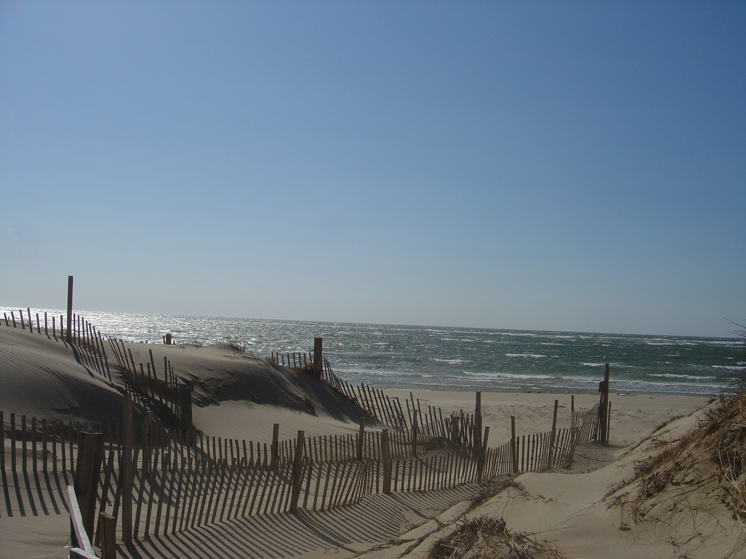
From here we could keep heading south for another mile or more, onto Great Island proper, and finally down to Jeremy Point. But it is cold, and the wind-driven sand is flaying us alive, so we will end our walk by crossing the dune to behold the great Bay to our west. We approach:
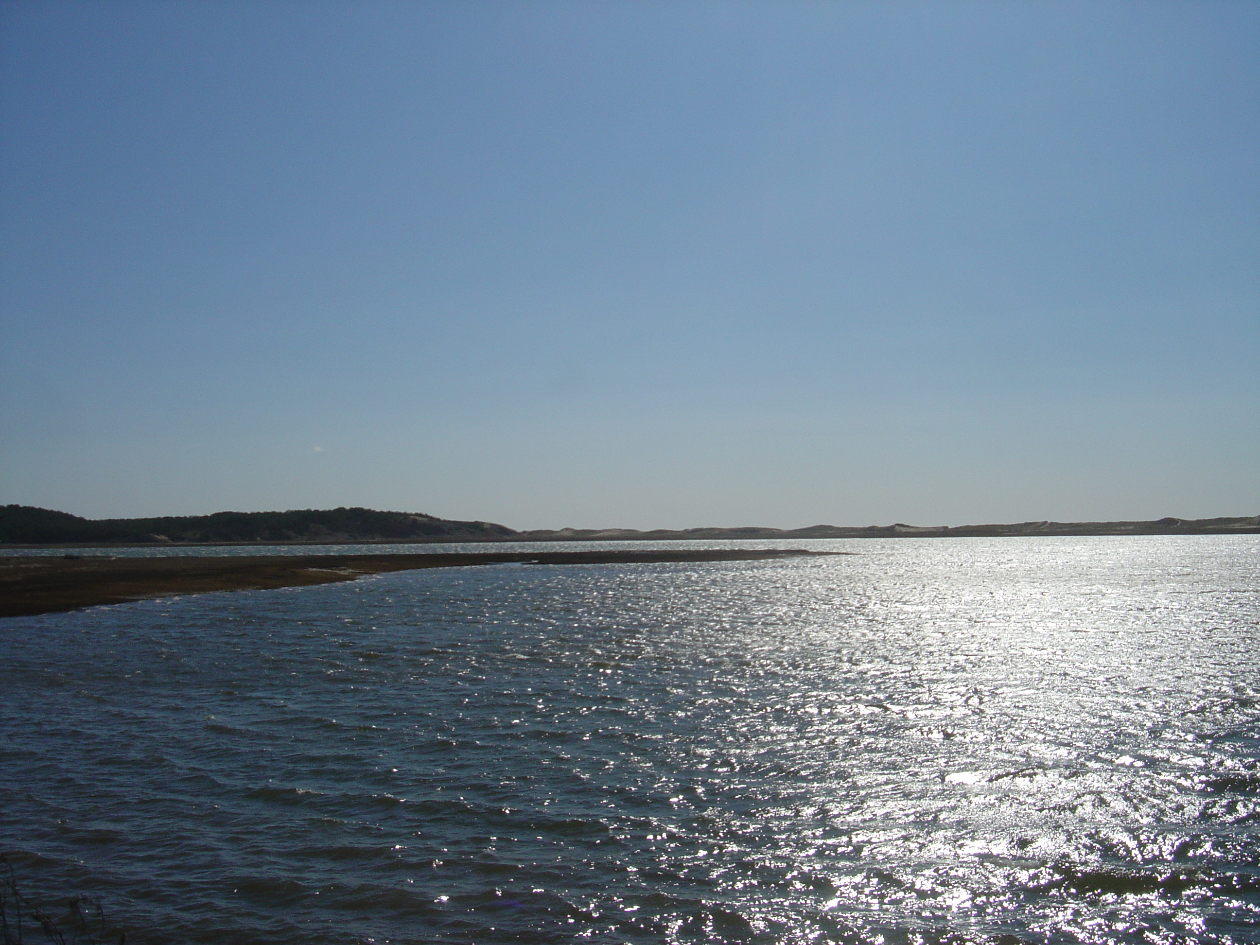
…and here we are. We look west across Cape Cod Bay, across the twenty-five miles or so of open water that separates us from the mainland. Behind us is the slender, longitudinal sliver that is the Outer Cape: the two-mile breadth of Wellfleet Harbor, another two miles of hilly woodland and freshwater ponds, and then the immense Atlantic Ocean.
Thanks for joining me. I have marked this course at Google Maps; you can have a look here.
6 Comments
Greetings Malcolm – The views you captured on your stroll arouse my envy, and stimulate some spot in my brain that evokes the invigorating aroma of salty sea breezes. But it must have been a chilly walk, too, and that would temper my enjoyment. Of course, here in balmy Minnesota I’m “enjoying” a late blast of winter…
Thanks Malcolm,
I “enjoyed” my 52nd on the 21’st but I didn’t feel like walking then. My grandkids kept calling, saying stuff like granddad. I wish your “quicktags” could convey shudder appropriately. Well maybe not, being an electronics sort of fellow shuddering would not be kind to the circuits.
Looks like fine country.
JK
I grew up living at the top of Hiram Hill in Wellfleet…….I still have very fond memories of my life on the Cape…and one day will retire back to the same place. Chequessett Neck Road will always be “Home”.
It was great on your pictoral walk…I’ve walked the same places many many times…
I’m glad you also have that Love for that area of Wellfleet. It’s a special place!
The name Hiram Hill…came from the original 5 families, The Simmons, The Sneaths, The Smiths, The Lombards and The Bourossa families. The men were all of the Masonic Order…and the word Hiram = “Brother”.
So it became Brothers Hill..ie: Hiram Hill. I have the original sign from the early 1960’s when the homes on the hill were built.
Thanks for sharing your “walk”. I could almost smell the Cape. :)
What a pleasure to meet you, Suzanne! I’m so glad you liked my little tour. And thanks so much for that historical information. I’ve been wondering how our little hill got its name.
This is the sort of thing that makes blogging worthwhile.
When you do return to Hiram Hill, I hope you’ll pay us a visit. Way 60, first house on the left.
It is a nice walkthrough of a beautiful place.
With your kind permission I would like to show the picture of the “south side of the dike” to my students in a physics class. I believe they would appreciate the scientific considerations in the problem of building a levee if they see the picture.
Thanks
Of course! Please do.